


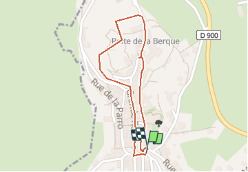

10,6 km | 14,1 km-effort


Usuario


Aplicación GPS de excursión GRATIS
 SityTrail
IGN / Institutos geográficos
SityTrail World
El mundo es suyo
Ruta Senderismo de 886 m a descubrir en Occitania, Aveyron, Mur-de-Barrez. Esta ruta ha sido propuesta por Elbe.
Les sentiers de l'imaginaire
CARLADEZ - AVEYRON
L’âme du sentier :
Je suis Guilhem de Mur, troubadour et chevalier, vassal du comte de Rodez! Au XIIIème siècle, Mur-de-Barrez était une ville prospère avec son château, ses maisons blotties sous les rochers, ses artisans et leurs belles échoppes!
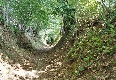
Entrez par la "Carrièra Granda" (Grande Rue), franchissez la Tour de Monaco. Parcourez ruelles et venelles! Cherchez les blasons sur les façades.
Départ : Tour de Monaco, à la statue de Guilhem le chevalier.
Balisage: Blasons en fer forgé.
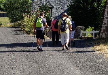
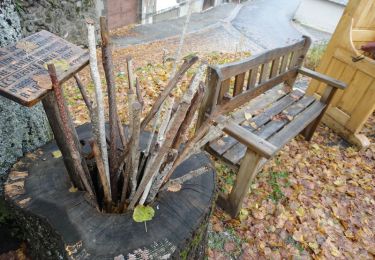
Senderismo

Perros de trineo
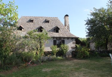
Senderismo
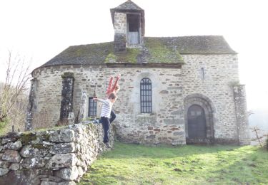
Senderismo
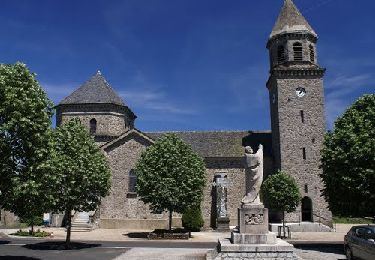
Senderismo

Senderismo
Senderismo
Bicicleta
Senderismo