


8,9 km | 14,1 km-effort


Usuario


Aplicación GPS de excursión GRATIS
 SityTrail
IGN / Institutos geográficos
SityTrail World
El mundo es suyo
Ruta Senderismo de 9,3 km a descubrir en Córcega, Córcega del Sur, Cuttoli-Corticchiato. Esta ruta ha sido propuesta por z123o.
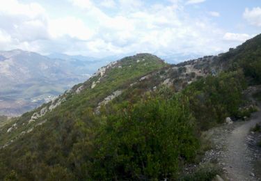
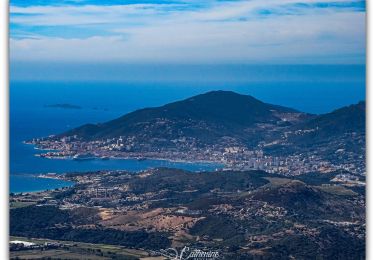
Belle vue sur le golfe d’Ajaccio.
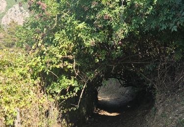
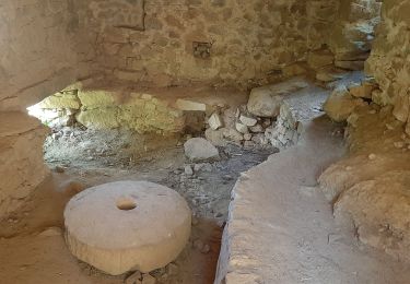
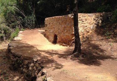
Sentier balisé, assez sympathique : alternance entre passage dégagés, passages couverts dans des châtaigniers, et au milieu de fougères de 2m de haut !
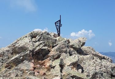
2h00 pour arriver au sommet et 2h00 pour le retour en se baladant.


Senderismo

Senderismo
Otra actividad
Senderismo
Senderismo
Senderismo
A pie
Senderismo
Senderismo
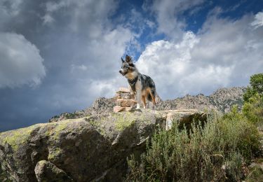
Super rando :)