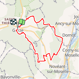


13,2 km | 17,8 km-effort

Usuario


Aplicación GPS de excursión GRATIS
 SityTrail
IGN / Institutos geográficos
SityTrail World
El mundo es suyo
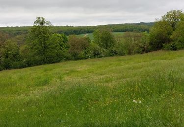
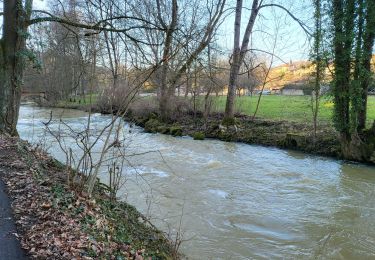
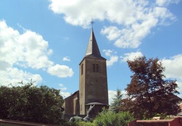
Ruta Senderismo de 16,4 km a descubrir en Gran Este, Mosela, Gorze. Esta ruta ha sido propuesta por pascalcla.
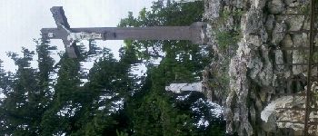
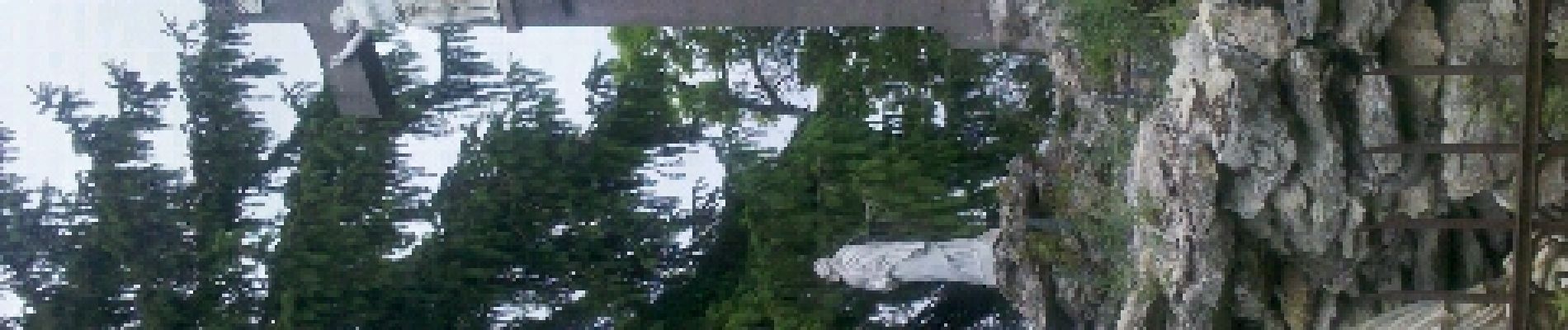
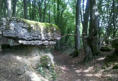
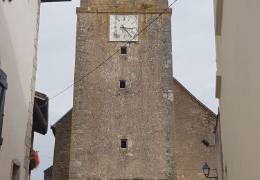
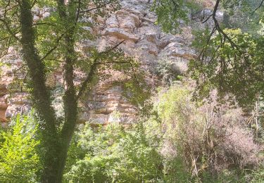
Parcours réel: Gorze, Chapelle Saint Clément, Rochers de la Fraze, Croix Saint Clément, Notre Dame de Gorze.
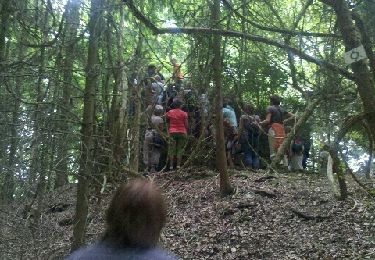
Parmi mes plus beau parcours dans la région.

Senderismo
Senderismo
Senderismo
Bici de montaña
Bicicleta
Senderismo
Senderismo