


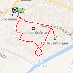


12 km | 18,7 km-effort


Usuario


Aplicación GPS de excursión GRATIS
 SityTrail
IGN / Institutos geográficos
SityTrail World
El mundo es suyo
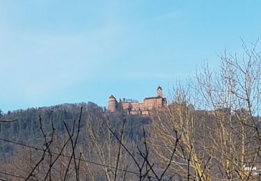
Ruta Senderismo de 884 m a descubrir en Gran Este, Alto Rin, Guémar. Esta ruta ha sido propuesta por ribeauville.
Guémar est un ancien village de pêcheurs et d’agriculteurs qui comporte encore aujourd’hui quelques fermes en maçonnerie et pan de bois avec des dépendances (granges, étables, anciens séchoirs à tabac).
L’agglomération au bâti très dense, enfermée dans son enceinte jusqu’au début du XXe siècle, s’est agrandie après la dernière guerre. Les fossés de l’enceinte ont été aménagés en promenade et plantés de jardins potagers formant une ceinture verte autour de l’agglomération.
La charmante ville de Guémar offre aujourd’hui le visage d’une localité paisible et fleurie où l’on peut découvrir à loisir les vestiges de son riche passé.

Senderismo
Senderismo
Senderismo
Senderismo
Senderismo

Paseo ecuestre
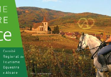
Paseo ecuestre

Senderismo
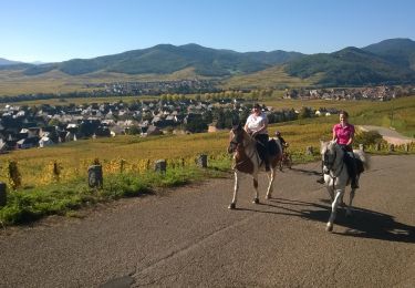
Paseo ecuestre