


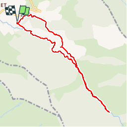


24 km | 43 km-effort

Usuario


Aplicación GPS de excursión GRATIS
 SityTrail
IGN / Institutos geográficos
SityTrail World
El mundo es suyo
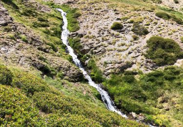
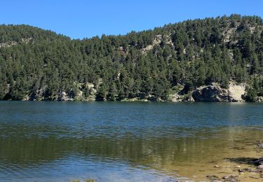
Ruta Senderismo de 9,4 km a descubrir en Occitania, Pirineos Orientales, Llo. Esta ruta ha sido propuesta por pak.martin.
Balade de 2 h avec un dénivelé de 250 m. On s'est trompé. On a fait demi-tour. On doit tourner à gauche avant le pont après 2,5km


Senderismo

Senderismo

Senderismo

Senderismo
Senderismo

sport
Senderismo
Senderismo
Senderismo