


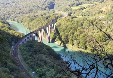
9,3 km | 16,8 km-effort

Usuario


Aplicación GPS de excursión GRATIS
 SityTrail
IGN / Institutos geográficos
SityTrail World
El mundo es suyo
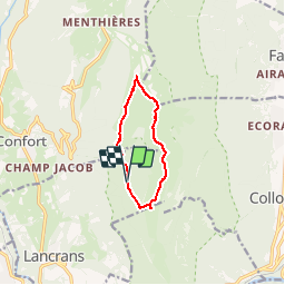
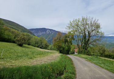
Ruta Senderismo de 7,7 km a descubrir en Auvergne-Rhône-Alpes, Ain, Valserhône. Esta ruta ha sido propuesta por tracegps.
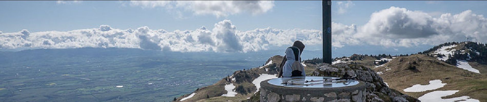
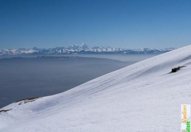
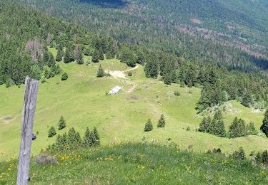
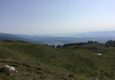
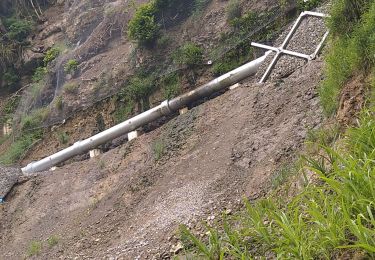
Haut-Jura. Parcouru en mars, le sommet du Haut-Jura permet début mai, une randonnée facile dans une ambiance encore très printanière. En partant d'une plateforme forestière de stockage située en aval du Chalet de Varambon sur la route d'exploitation de la Sorgia, de vagues traces permettent de retrouver un GR de pays pour monter par le Crêt du Milieu traverser le Crêt de la Goutte, point culminant du Grand Crêt d'Eau. La randonnée se poursuit par le Crêt de l'Éguillon pour atteindre la croix du Crêt des Frasses, descendre son arête orientée plutôt au Sud, parcourir l'alpage du Chalet de Varambon et par une piste pastorale retrouver le point de départ. Description complète sur sentier-nature.com : Traversée du Grand Crêt d'Eau Avertissement [Orientation 1/3]. Certains passages de cet itinéraire de montagne sont escarpés et/ou très exposés, il est déconseillé aux enfants non accompagnés et aux personnes sujettes au vertige.

Senderismo
Senderismo
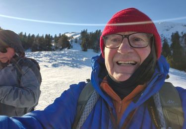
Raquetas de nieve
Senderismo
Senderismo
Senderismo
Senderismo
Senderismo
Senderismo