


8 km | 9,2 km-effort

Usuario


Aplicación GPS de excursión GRATIS
 SityTrail
IGN / Institutos geográficos
SityTrail World
El mundo es suyo
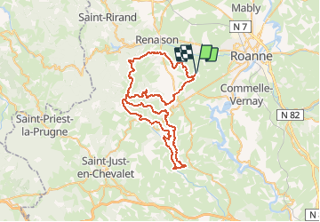
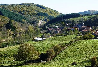
Ruta Bici de montaña de 67 km a descubrir en Auvergne-Rhône-Alpes, Loira, Ouches. Esta ruta ha sido propuesta por tracegps.
Parking gratuit et départ face au stade. La Ouchoise est organisée par le Club sympathique et convivial "Cyclo Ouchois" et s'est déroulée le dimanche 6 mai 2012. C'est un Marathon VTT exigeant et relativement usant, il est donc destiné aux pilotes confirmés et endurants ! Le circuit est ponctuellement technique et physique mais alterne avec des belles portions roulantes comme dans la vallée de l'Isable ce qui lui donne un côté ludique ! Parcours évoluant en moyenne montagne (900 m), par conséquent à faire par beau temps et à éviter par terrain gras. N'oubliez pas l'appareil photo. Topoguides : Randoguide : à travers l'ouest Roannais (CCOR) Randonnée en Côte roannaise (petit St Vincent) Les Monts de la Madeleine (Balades et randonnées à pied et à VTT) Promenades et randonnées en Pays d'Urfé (Canton de Saint-Just-en-Chevalet)
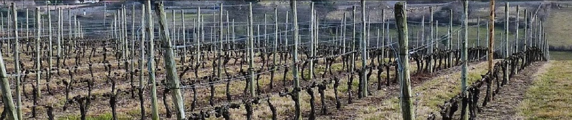
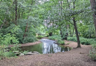
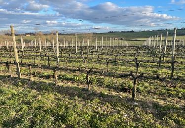
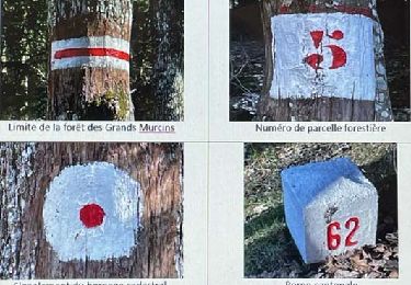
 - Ouches - Photo 1")
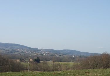
 - Ouches - Photo 2")
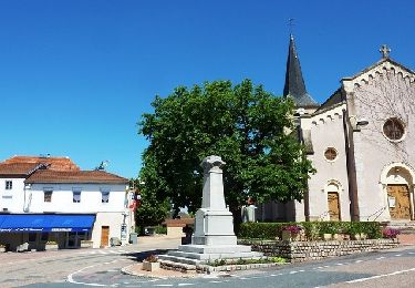
 - Ouches - Photo 3")
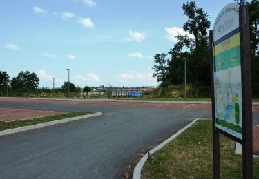
 - Ouches - Photo 4")
 - Ouches - Photo 5")
 - Ouches - Photo 6")
Senderismo

Senderismo
Senderismo
Senderismo

Senderismo
Senderismo
Bici de montaña
Bici de montaña
Bici de montaña