


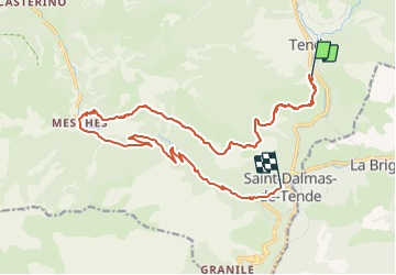

10,2 km | 12,9 km-effort


Usuario


Aplicación GPS de excursión GRATIS
 SityTrail
IGN / Institutos geográficos
SityTrail World
El mundo es suyo
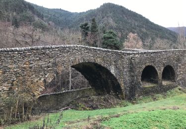
Ruta Bici de montaña de 21 km a descubrir en Provenza-Alpes-Costa Azul, Alpes Marítimos, Tende. Esta ruta ha sido propuesta por Peperol.
Boucle Tende Lac des Mesches Tende par Speggie et le chemin de Vallaire et retour par la route

Senderismo

Senderismo

Senderismo
Raquetas de nieve

Senderismo
Senderismo
Bici de montaña
Senderismo

A pie