


17,8 km | 23 km-effort


Destination Condroz-Famenne- une nature préservée PRO


Aplicación GPS de excursión GRATIS
 SityTrail
IGN / Institutos geográficos
SityTrail World
El mundo es suyo
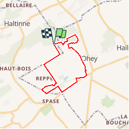
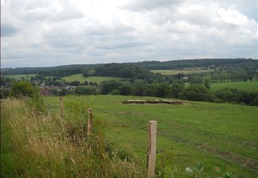
Ruta Senderismo de 10,6 km a descubrir en Valonia, Namur, Gesves. Esta ruta ha sido propuesta por Vallées des Saveurs - Maison du Tourisme Condroz-Famenne.
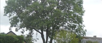
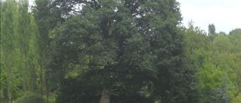
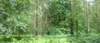
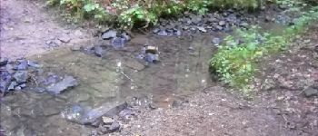
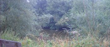
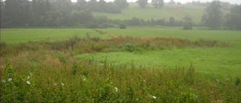
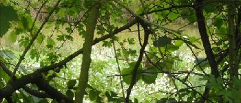
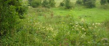
Venez vous sensibiliser à l’écologie et à l’environnement en arpentant les sentiers et les chemins qui longent des zones humides, traversez un bois tout en vous amusant et finissez par une mitraillette à « La grignotière »…


Senderismo

Senderismo

Senderismo

Senderismo

Senderismo

Senderismo

Senderismo
Senderismo
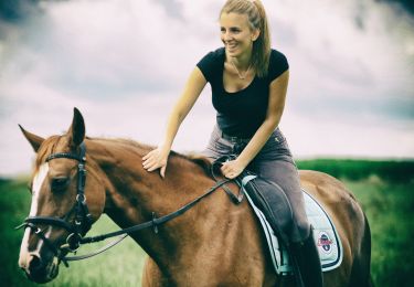
Paseo ecuestre
Afwisselend.
sympathique