


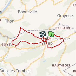


17,8 km | 23 km-effort

Destination Condroz-Famenne- une nature préservée PRO


Aplicación GPS de excursión GRATIS
 SityTrail
IGN / Institutos geográficos
SityTrail World
El mundo es suyo
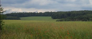
Ruta Senderismo de 12,1 km a descubrir en Valonia, Namur, Gesves. Esta ruta ha sido propuesta por Vallées des Saveurs - Maison du Tourisme Condroz-Famenne.
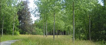
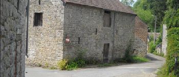
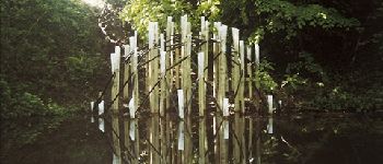
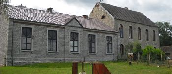
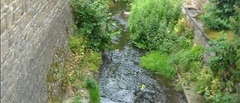
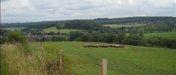
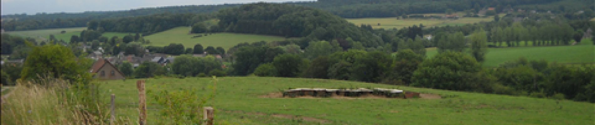
Remontez les âges et les époques et rendez-vous au cœur de l’histoire du Pays des tiges et chavées…Châteaux, donjons ou potales n’auront bientôt plus aucun secret pour vous.


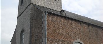
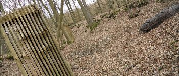
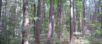
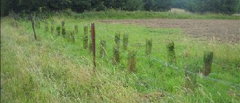
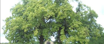
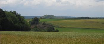
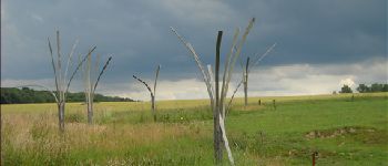
45 fotos en total. Haga clic en una foto para mostrarlas todas en la galería.

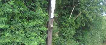
Senderismo

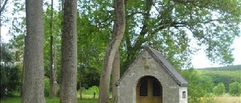
Senderismo

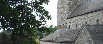
Senderismo

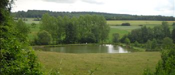
Senderismo

Senderismo

Senderismo

Senderismo

Senderismo

Senderismo
très agréable
Ânes ok
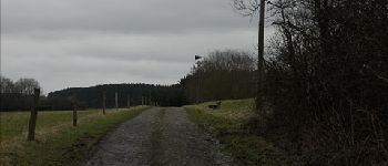
très beau. un peu de boue par endroit.