


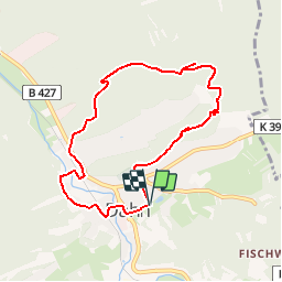


13,5 km | 19 km-effort


Usuario


Aplicación GPS de excursión GRATIS
 SityTrail
IGN / Institutos geográficos
SityTrail World
El mundo es suyo
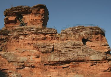
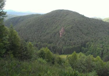
Ruta Senderismo de 7,6 km a descubrir en Renania-Palatinado, Südwestpfalz, Dahn. Esta ruta ha sido propuesta por JeMaZe.
Après Lembach,allez vers L'Allemagne direction Dahn,passer par Busenberg,puis après le village prendre à droite direction Drachenfelshütte (restaurant et parking de départ)
Senderismo
A pie
A pie
A pie
A pie
A pie
A pie
A pie
A pie