50 km | 64 km-effort
Appenai sous Bellême Est (Boucle)
neitag61
Usuario
Longitud
11,2 km
Altitud máxima
184 m
Desnivel positivo
165 m
Km-Effort
13,4 km
Altitud mínima
116 m
Desnivel negativo
165 m
Boucle
Sí
Fecha de creación :
2016-04-15 00:00:00.0
Última modificación :
2016-04-15 00:00:00.0
3h00
Dificultad : Fácil
Aplicación GPS de excursión GRATIS
A propósito
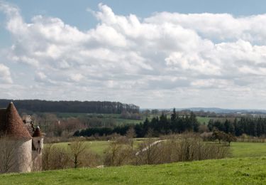
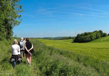
Ruta Senderismo de 11,2 km a descubrir en Normandía, Orne, Appenai-sous-Bellême. Esta ruta ha sido propuesta por neitag61.
Descripción
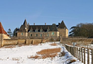
en passant par le château des feugerets
Localización
País:
France
Región :
Normandía
Departamento/provincia :
Orne
Municipio :
Appenai-sous-Bellême
Localidad:
Unknown
Salida:(Dec)
Salida:(UTM)
319140 ; 5357503 (31U) N.
Comentarios
Excursiones cerca
La Chapelle Souef - Les Feugerets 12 Km
Senderismo
Medio
(1)
La Chapelle-Souëf,
Normandía,
Orne,
France
12 km | 14,1 km-effort
3h 6min
Sí
de belleme a l'etang de la herse
Senderismo
Difícil
Bellême,
Normandía,
Orne,
France
11 km | 13,9 km-effort
3h 10min
Sí
Chêne séculaire
A pie
Fácil
Saint-Martin-du-Vieux-Bellême,
Normandía,
Orne,
France
9,2 km | 11,8 km-effort
2h 40min
No
circuit des vallées bellemoises
Bici eléctrica
Fácil
Bellême,
Normandía,
Orne,
France
44 km | 52 km-effort
4h 48min
Sí
Bellême - Mortagne-au-Perche 23 km
Senderismo
Muy difícil
Bellême,
Normandía,
Orne,
France
23 km | 27 km-effort
6h 17min
No
Bellême - Nocé/Courboyer 17 km
Senderismo
Fácil
Bellême,
Normandía,
Orne,
France
16,6 km | 20 km-effort
3h 24min
No
Traversées Percheronnes Bellême - Gémages 15,4 Km
Senderismo
Medio
Bellême,
Normandía,
Orne,
France
15,4 km | 17,6 km-effort
4h 2min
No
Traversées Percheronnes Igé - Sainte-Gauburge Via Appenai-sous-Bellême 20,5 Km
Senderismo
Medio
Igé,
Normandía,
Orne,
France
20 km | 24 km-effort
5h 18min
No