


 13.90km - Photo 21")
 13.90km - Photo 22")
 13.90km - Photo 23")
 13.90km - Photo 24")
 13.90km - Photo 25")
 13.90km - Photo 26")
 13.90km - Photo 27")


9,9 km | 14,2 km-effort


Usuario


Aplicación GPS de excursión GRATIS
 SityTrail
IGN / Institutos geográficos
SityTrail World
El mundo es suyo
Ruta Senderismo de 13,9 km a descubrir en Países del Loira, Sarthe, Saint-Paul-le-Gaultier. Esta ruta ha sido propuesta por Marie-Claire-mcp.
Départ des étangs de St Paul le Gaultier, puis remontée la rue du Bief et tourner à l'église. Monter vers le Biché, puis la croix rousse, la plardière puis les chapronnières et contourner le bois de Chemasson par les maisonnettes et Villeneuve, redescendre par la Talbotière et reprendre le même chemin qu'à l'aller.
 13.90km - Photo 1")
 13.90km - Photo 2")
 13.90km - Photo 3")
 13.90km - Photo 4")
 13.90km - Photo 5")
 13.90km - Photo 6")
 13.90km - Photo 7")
 13.90km - Photo 8")
 13.90km - Photo 9")
 13.90km - Photo 10")
 13.90km - Photo 11")
 13.90km - Photo 12")
 13.90km - Photo 13")
 13.90km - Photo 14")
 13.90km - Photo 15")
 13.90km - Photo 16")
 13.90km - Photo 17")
 13.90km - Photo 18")
 13.90km - Photo 19")
 13.90km - Photo 20")
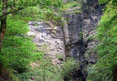
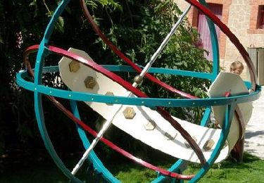
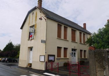
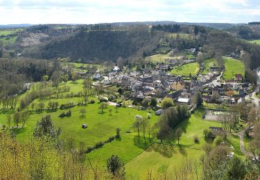
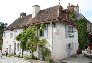
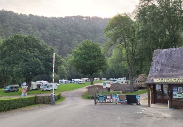
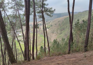
27 fotos en total. Haga clic en una foto para mostrarlas todas en la galería.
Bici de montaña
Bici de montaña

Senderismo
A pie
A pie
A pie
Senderismo
Senderismo
Senderismo