


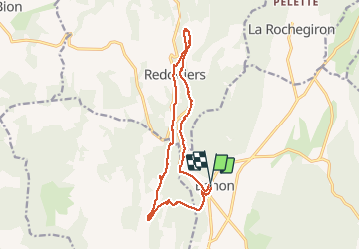


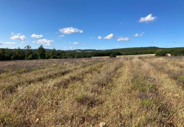
9,6 km | 12,7 km-effort


Usuario GUIDE


Aplicación GPS de excursión GRATIS
 SityTrail
IGN / Institutos geográficos
SityTrail World
El mundo es suyo
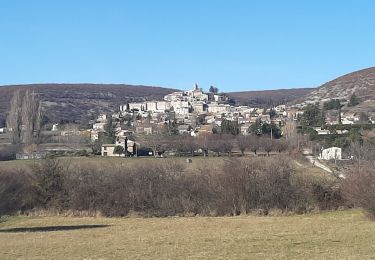
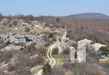
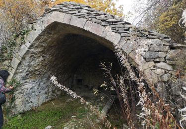
Ruta Senderismo de 15,9 km a descubrir en Provenza-Alpes-Costa Azul, Alpes de Alta Provenza, Banon. Esta ruta ha sido propuesta por RobinMicheline.
16 kms 4 h 30 360 M devel Vieux Montsalier magnifique sympa à refaire
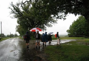
Senderismo
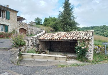
Senderismo

Senderismo
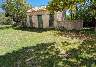
Senderismo
Senderismo
Senderismo
Senderismo
Senderismo

Senderismo