


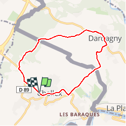

14,5 km | 17,2 km-effort

Usuario


Aplicación GPS de excursión GRATIS
 SityTrail
IGN / Institutos geográficos
SityTrail World
El mundo es suyo
Ruta Senderismo de 7 km a descubrir en Auvergne-Rhône-Alpes, Ain, Challex. Esta ruta ha sido propuesta por tracegps.
Circuit proposé par la commune de Challex. Départ de la place de la mairie de Challex. Retrouvez le circuit sur le site de la commune de Challex.


Senderismo
Senderismo
Senderismo

Paseo ecuestre
Senderismo
Paseo ecuestre
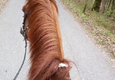
Caballo