


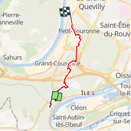

10,7 km | 13,8 km-effort


Usuario


Aplicación GPS de excursión GRATIS
 SityTrail
IGN / Institutos geográficos
SityTrail World
El mundo es suyo
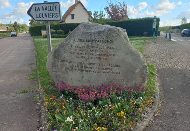
Ruta Otra actividad de 12,6 km a descubrir en Normandía, Sena-Marítimo, Orival. Esta ruta ha sido propuesta por maillebreze.
Départ de Orival salle Eude - Arrivé Petit couronne place du marché en passant par les Essarts
Senderismo

Senderismo

Senderismo

Bici de montaña

Senderismo
Senderismo
Senderismo
Senderismo
Senderismo