


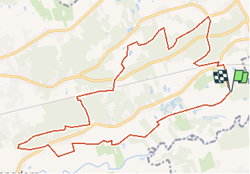


6,9 km | 7,8 km-effort


Usuario


Aplicación GPS de excursión GRATIS
 SityTrail
IGN / Institutos geográficos
SityTrail World
El mundo es suyo
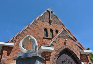
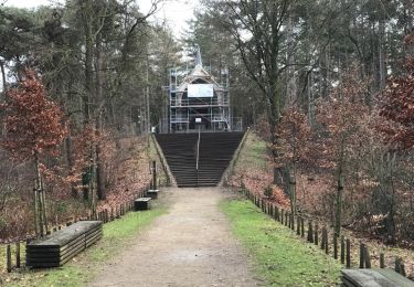
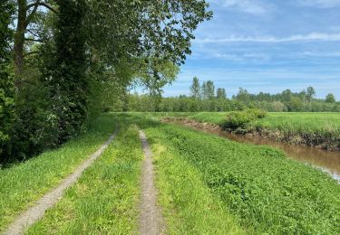
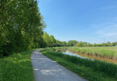
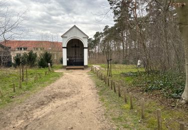
Ruta Senderismo de 12,1 km a descubrir en Flandes, Brabante Flamenco, Aarschot. Esta ruta ha sido propuesta por decoger.
De oever van de Demer nodigt uit voor een stevige wandeling in het groen. Bewonder de Heimolen en de Testeltse watermolen, speur naar het leven in de Demerbroeken en het natuurgebied Molenheide.
A pie
A pie
A pie
A pie
Senderismo
Senderismo
Senderismo
Senderismo
A pie