


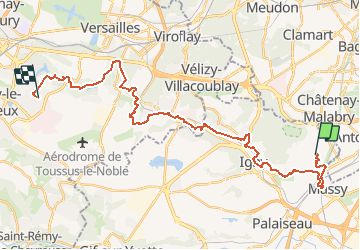


11,9 km | 14 km-effort

Usuario


Aplicación GPS de excursión GRATIS
 SityTrail
IGN / Institutos geográficos
SityTrail World
El mundo es suyo
Ruta Senderismo de 30 km a descubrir en Isla de Francia, Essonne, Verrières-le-Buisson. Esta ruta ha sido propuesta por TUVB.
37e Marche de la Bièvre
Marche à l'aurore 30 km
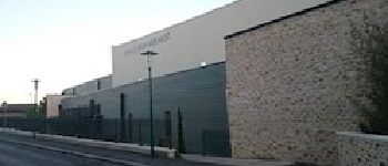
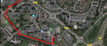
Départ dimanche 12 mai à 4h00 de Verrières-le-Buisson, espace Jean Mermoz, 2 rue Marcel Giraud
Ravitaillement tous les 10 km


Senderismo

Senderismo

Senderismo

Senderismo

Senderismo

Senderismo
Senderismo

Senderismo

Senderismo