


18,5 km | 22 km-effort

Usuario


Aplicación GPS de excursión GRATIS
 SityTrail
IGN / Institutos geográficos
SityTrail World
El mundo es suyo
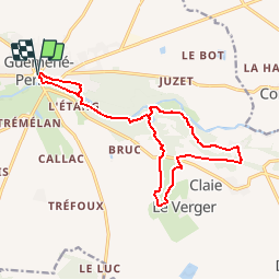
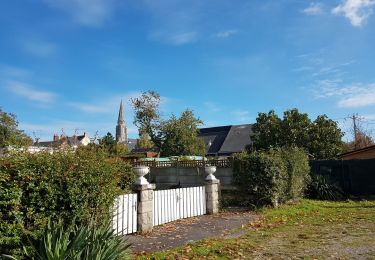
Ruta Senderismo de 15,6 km a descubrir en Países del Loira, Loira-Atlántico, Guémené-Penfao. Esta ruta ha sido propuesta por tracegps.
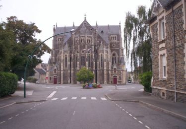
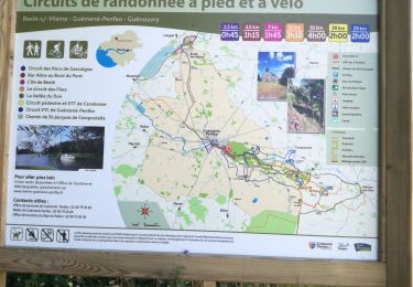
Circuit proposé par la maison du tourisme du Pays de Redon. Départ du parking près de la Maison du Tourisme du Pays de Guémené-Penfao et de la place Saint-Simon à Guémené-Penfao. Retrouvez ICI le circuit sur le site du Pays de Redon.


Senderismo
Senderismo
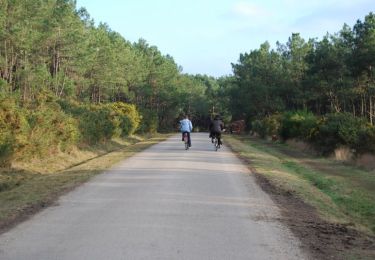
Senderismo

Senderismo
Senderismo
Senderismo
Senderismo
Senderismo
Senderismo