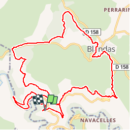

10,6 km | 14,5 km-effort

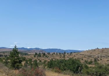
La marche dans les monts d'Orb, le Caroux, et dans l'Hérault et l'aveyron


Aplicación GPS de excursión GRATIS
 SityTrail
IGN / Institutos geográficos
SityTrail World
El mundo es suyo
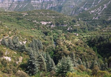
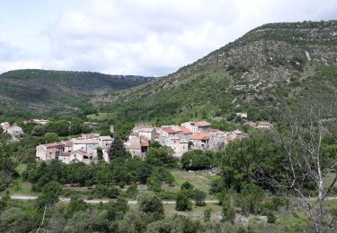
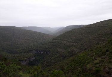
Ruta Senderismo de 15,3 km a descubrir en Occitania, Gard, Blandas. Esta ruta ha sido propuesta por Groupe de marche du Recantou.
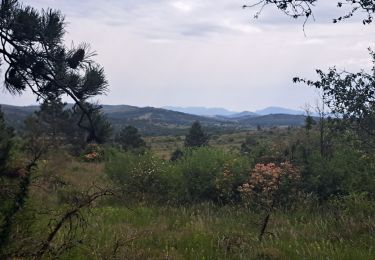
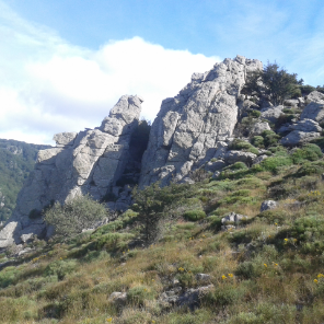
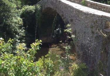
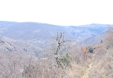
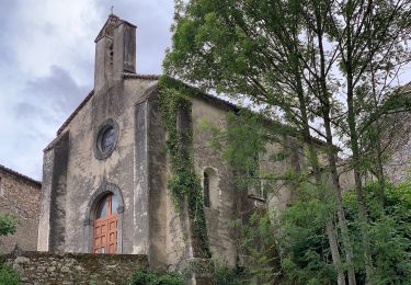
Une très belle randonnée autour de Navacelle d'après le site Randonnée cevenole
Senderismo
Senderismo
A pie
A pie
Senderismo
Senderismo
Senderismo

Senderismo