


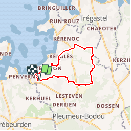


13,8 km | 15,1 km-effort


Usuario


Aplicación GPS de excursión GRATIS
 SityTrail
IGN / Institutos geográficos
SityTrail World
El mundo es suyo
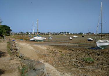
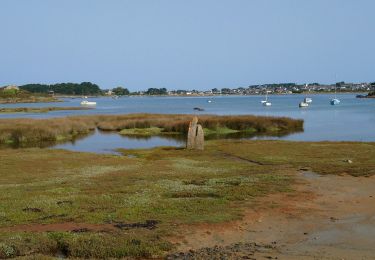
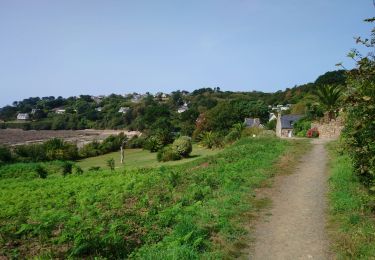
Ruta Senderismo de 9,5 km a descubrir en Bretaña, Côtes-d'Armor, Pleumeur-Bodou. Esta ruta ha sido propuesta por tracegps.
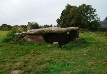
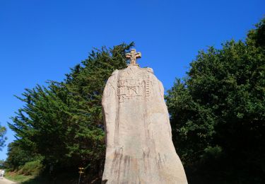
Circuit proposé par l’office de Tourisme de Pleumeur Bodou . Départ du Menhir christianisé de Saint Uzec à Pleumeur-Bodou.


Senderismo

Senderismo
Senderismo

Senderismo
Senderismo
Senderismo
Senderismo

Senderismo
Senderismo