


13,2 km | 13,9 km-effort

Usuario


Aplicación GPS de excursión GRATIS
 SityTrail
IGN / Institutos geográficos
SityTrail World
El mundo es suyo
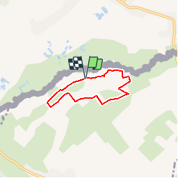
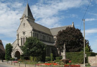
Ruta Senderismo de 4,1 km a descubrir en Alta Francia, Norte, Hergnies. Esta ruta ha sido propuesta por tracegps.
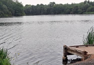
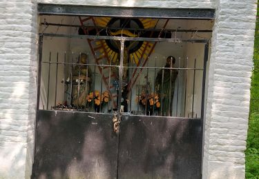
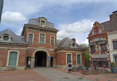
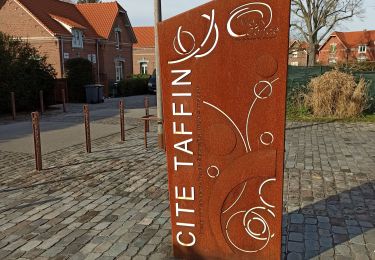
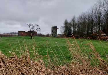
Circuit proposé par le comité départemental du Nord. Fiche n° 17 de la pochette «Histoires abbatiales et patrimoine minier». Départ du site du grand marais à Hergnies, parking entre les deux étangs. Circuit familial à la découverte du Grand Marais et de la Vallée de la Vergne. Dans ce secteur humide, le port de chaussures étanches s'avère nécessaire. N’oubliez pas votre paire de jumelles et vos guides d'identification des oiseaux et des plantes. Retrouvez cette randonnée sur le site du Comité Départemental du Tourisme du Nord.


Senderismo
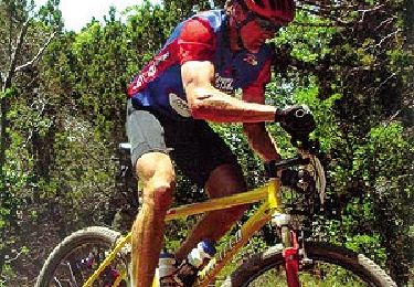
Bici de montaña
Senderismo
Senderismo
Senderismo
Senderismo
Senderismo
Senderismo

Senderismo