


6,4 km | 8,4 km-effort

Usuario


Aplicación GPS de excursión GRATIS
 SityTrail
IGN / Institutos geográficos
SityTrail World
El mundo es suyo
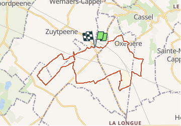
Ruta Senderismo de 17,5 km a descubrir en Alta Francia, Norte, Bavinchove. Esta ruta ha sido propuesta por tracegps.
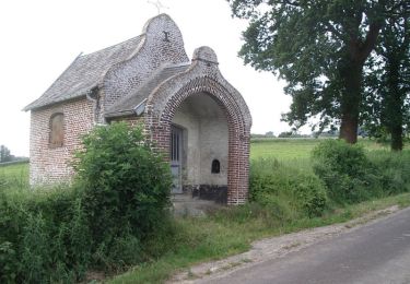
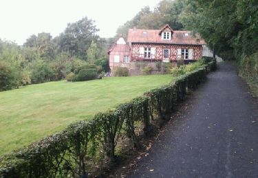
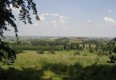
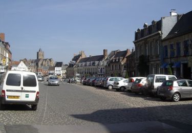
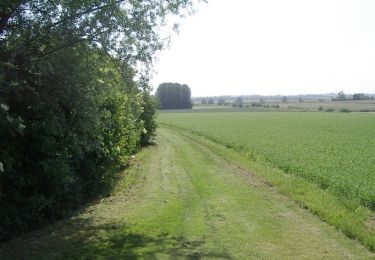
Circuit proposé par le comité départemental du Nord. Fiche n° 4 de la pochette « Il était une fois les Monts de Flandre…. » Départ de l’église de Bavinchove. Circuit pour randonneurs avertis à la découverte du Val de Cassel. Ce circuit rencontre églises-halles, chaumières restaurées, pommeraies et emprunte des chemins historiques : ancienne voie romaine Steene straete, chemin de l’Abbaye. Retrouvez cette randonnée sur le site du comité départemental du Nord.
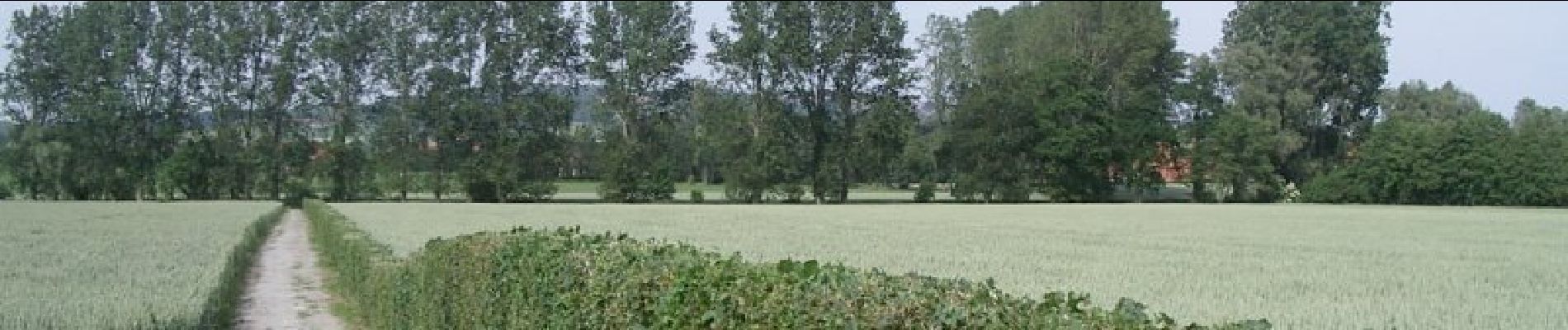
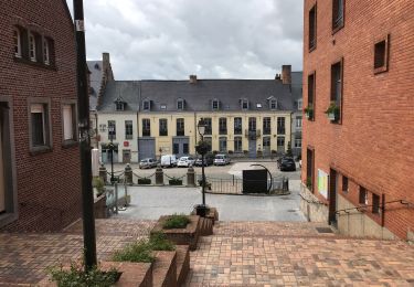
 - Bavinchove - Photo 1")
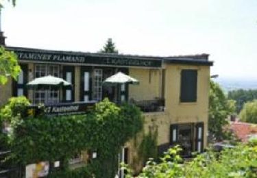
 - Bavinchove - Photo 2")
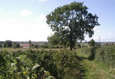
 - Bavinchove - Photo 3")
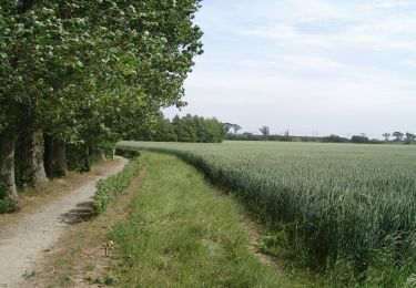
 - Bavinchove - Photo 4")
 - Bavinchove - Photo 5")
 - Bavinchove - Photo 6")
Senderismo
Senderismo
Carrera
Senderismo
Senderismo
Senderismo
Senderismo
Senderismo
Senderismo