


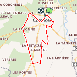

12,6 km | 15,8 km-effort

Usuario


Aplicación GPS de excursión GRATIS
 SityTrail
IGN / Institutos geográficos
SityTrail World
El mundo es suyo
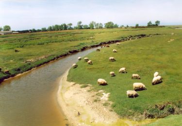
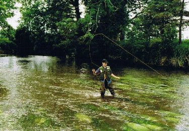
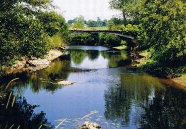
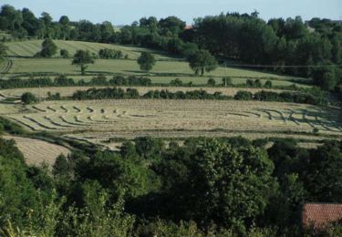
Ruta Senderismo de 6,6 km a descubrir en Normandía, Mancha, Cérences. Esta ruta ha sido propuesta por tracegps.
Cérences se situe sur une ancienne voie romaine allant de Rennes (Condate) à Avranches (Legedia), Coutances (Cosedia Constantia) puis Valognes (Alauna). Selon Emile Vivier, cette voie aurait emprunté d'anciennes pistes gauloises, les romains en transformant quelques-unes en routes, en les pavant de larges dalles assurant ainsi leur solidité et leur durée. Encore en quelques endroits, elle porte le nom de « Chemin Perré » ou de "chemin Chaussé". (source Geneawiki)

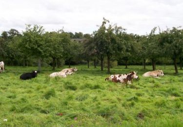
Senderismo
Bici de montaña
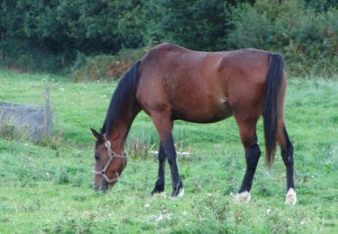
Senderismo
Senderismo
Senderismo

Senderismo
Senderismo
Senderismo
Senderismo