


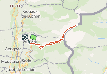

7,1 km | 12,5 km-effort

Usuario


Aplicación GPS de excursión GRATIS
 SityTrail
IGN / Institutos geográficos
SityTrail World
El mundo es suyo
Ruta Raquetas de nieve de 12,5 km a descubrir en Occitania, Alto-Garona, Artigue. Esta ruta ha sido propuesta por tracegps.
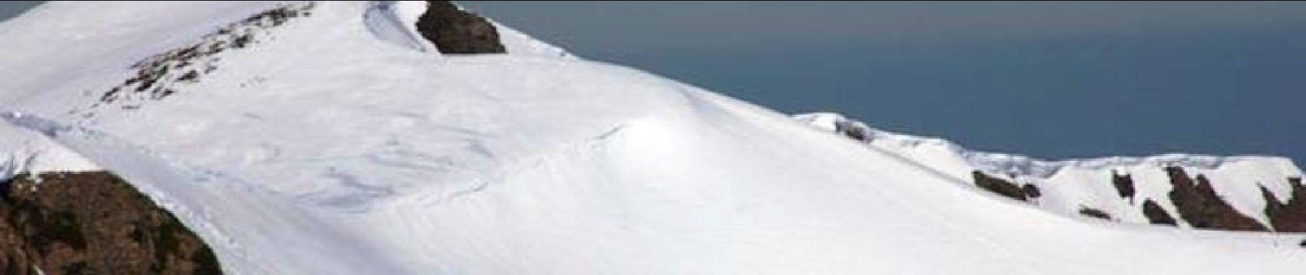
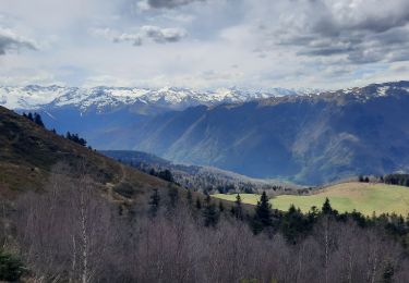
Une randonnée raquette au Pic de Bacanère au dessus de Bagnères de Luchon en passant par la cabane de Saunères, les crêtes de Serrat de Créspès, le Pla de Montmajou et le Col des Taons.


Raquetas de nieve

Senderismo

Senderismo

Senderismo
Senderismo

Senderismo

Senderismo
Senderismo
Senderismo