


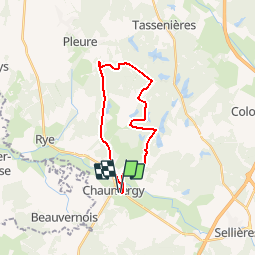

8,3 km | 9,3 km-effort

Usuario


Aplicación GPS de excursión GRATIS
 SityTrail
IGN / Institutos geográficos
SityTrail World
El mundo es suyo
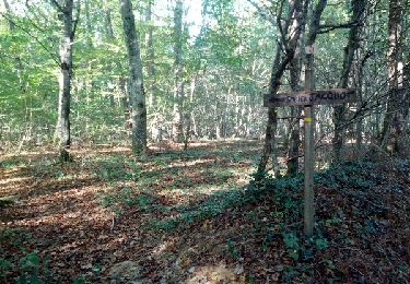
Ruta Bici de montaña de 21 km a descubrir en Borgoña-Franco Condado, Jura, Chaumergy. Esta ruta ha sido propuesta por tracegps.
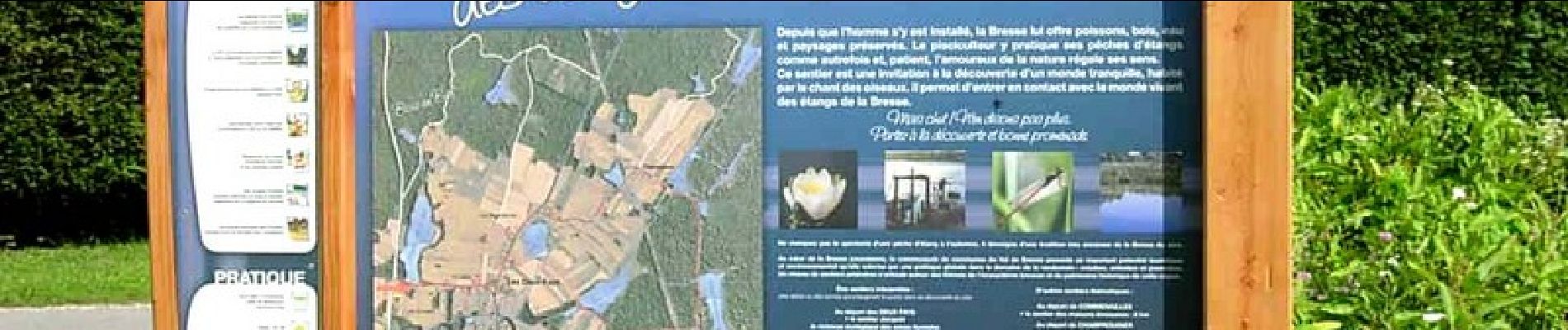
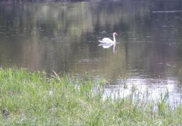
Circuit de 21 km à travers les étangs de la Bresse jurassienne empruntant des chemins blancs de l’ancienne voie ferrée.


A pie
Senderismo
Senderismo
Senderismo

A pie

Senderismo
Senderismo
Senderismo
Senderismo