


7 km | 8,7 km-effort


Usuario


Aplicación GPS de excursión GRATIS
 SityTrail
IGN / Institutos geográficos
SityTrail World
El mundo es suyo
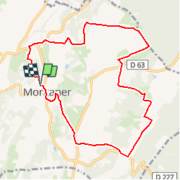
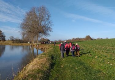
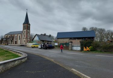
Ruta Senderismo de 10,7 km a descubrir en Nueva Aquitania, Pirineos-Atlánticos, Montaner. Esta ruta ha sido propuesta por tracegps.
A l´Est de Montaner, de ravissants sentiers en forêt vous mèneront sur le plateau, offrant un vaste panorama sur la vallée du Lis, les collines environnantes et la chaîne des Pyrénées. Retrouvez d’autres informations et la fiche descriptive sur le site Pays Basque et Béarn.

A pie
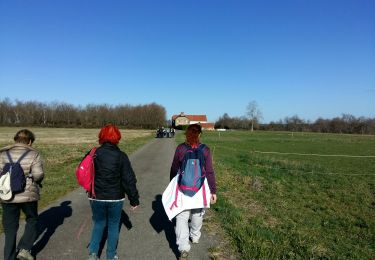
Senderismo
Senderismo

Marcha nórdica
Senderismo

Bici de montaña

Senderismo
Senderismo
A pie