


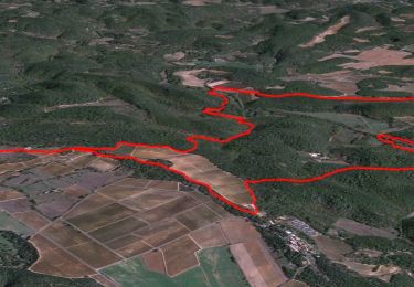
11,1 km | 17,3 km-effort

Usuario


Aplicación GPS de excursión GRATIS
 SityTrail
IGN / Institutos geográficos
SityTrail World
El mundo es suyo
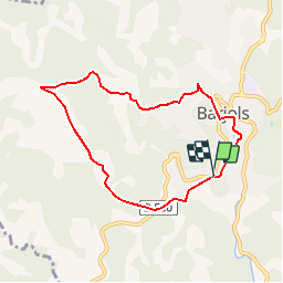
Ruta Senderismo de 7,4 km a descubrir en Provenza-Alpes-Costa Azul, Var, Barjols. Esta ruta ha sido propuesta por tracegps.
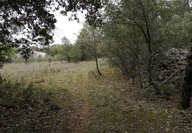
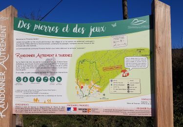
Une boucle familiale, sur de petites routes goudronnées à travers différents quartiers de Barjols, célèbre pour ses fontaines. Retrouvez d’autres information sur cette randonnée sur le site du Pays de la Provence Verte.


Senderismo
Senderismo
Senderismo
Senderismo
A pie
Senderismo
Senderismo
Senderismo
Senderismo