


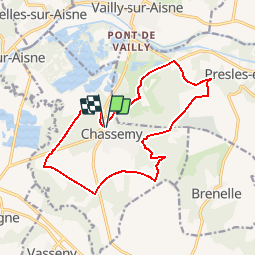

18 km | 22 km-effort

Usuario


Aplicación GPS de excursión GRATIS
 SityTrail
IGN / Institutos geográficos
SityTrail World
El mundo es suyo
Ruta Senderismo de 14,3 km a descubrir en Alta Francia, Aisne, Chassemy. Esta ruta ha sido propuesta por tracegps.
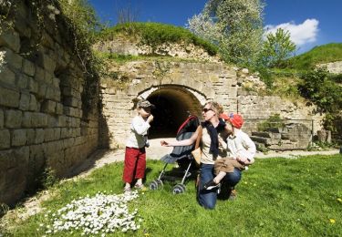
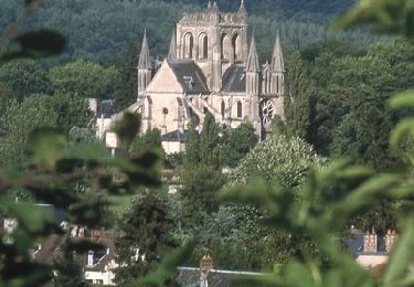
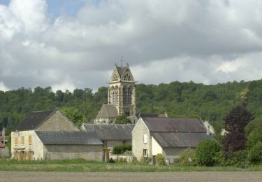
Entre les deux vallées de l’Aisne et de la Vesle, on peut voir les « boves », ces grottes creusées près de Notre-Dame-des-Boves, et profiter d’une vue panoramique sur les villages alentours. Retrouvez toutes les informations nécessaires ICI.


Senderismo
Senderismo
Senderismo
Senderismo
Senderismo
Senderismo
Senderismo
Senderismo
Senderismo