


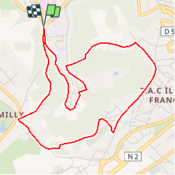


13,2 km | 16 km-effort

Usuario


Aplicación GPS de excursión GRATIS
 SityTrail
IGN / Institutos geográficos
SityTrail World
El mundo es suyo
Ruta Senderismo de 5,4 km a descubrir en Alta Francia, Aisne, Laon. Esta ruta ha sido propuesta por tracegps.
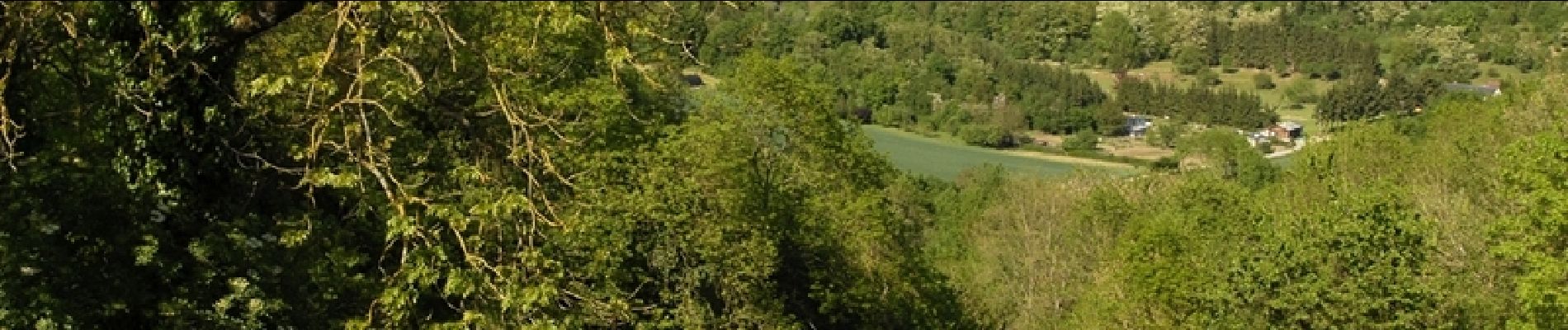
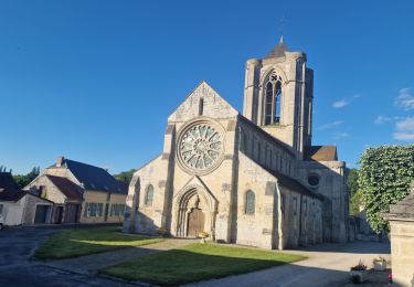
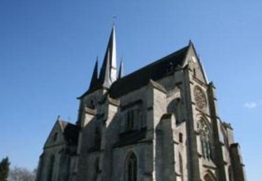
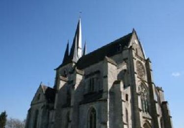
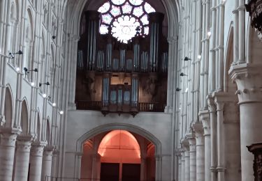
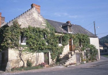
Surnommée la « Montagne Couronnée », la cité médiévale de Laon regorge d’un patrimoine insolite. En effet, fontaines, lavoirs et abreuvoirs recueillent l’eau de la multitude de sources qui naissent de la butte. Découvrez ce patrimoine étonnant et inattendu. Retrouvez d'autres informations ICI.

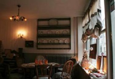
Senderismo
Senderismo
Senderismo
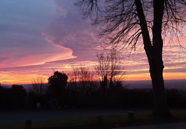
Senderismo
Senderismo

Senderismo
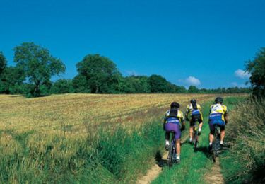
Bici de montaña
Senderismo