


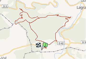

14,3 km | 19,7 km-effort

Usuario


Aplicación GPS de excursión GRATIS
 SityTrail
IGN / Institutos geográficos
SityTrail World
El mundo es suyo
Ruta Senderismo de 14,4 km a descubrir en Occitania, Aude, Lagrasse. Esta ruta ha sido propuesta por tracegps.
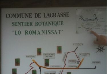
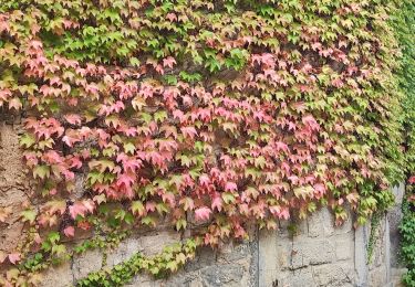
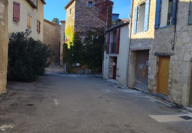
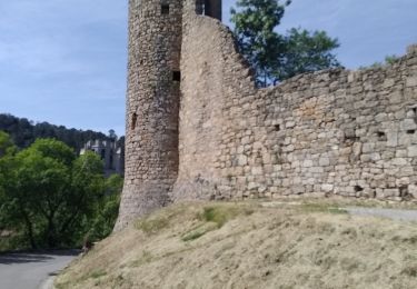
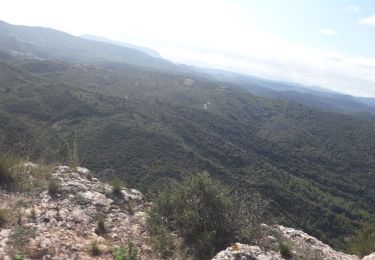
Une boucle entre la Métairie de Saint Auriol et Lagrasse en passant par la charmante Chapelle de Notre Dame du Carla dans les paysages sauvages des Corbières.

Senderismo
Senderismo
Senderismo
Senderismo
Senderismo
Senderismo

Senderismo
Senderismo
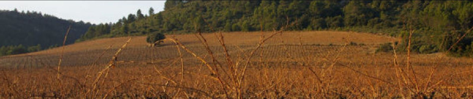
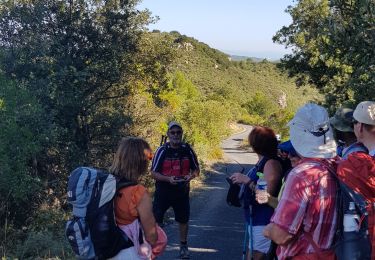
Nous marchons sur la route, les derniers kilomètres de la rando, dommage, hormis cet inconvénient, la rando est sympa