


52 km | 67 km-effort

Usuario


Aplicación GPS de excursión GRATIS
 SityTrail
IGN / Institutos geográficos
SityTrail World
El mundo es suyo
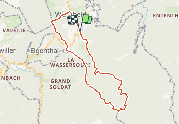
Ruta Bici de montaña de 15,5 km a descubrir en Gran Este, Mosela, Walscheid. Esta ruta ha sido propuesta por tracegps.
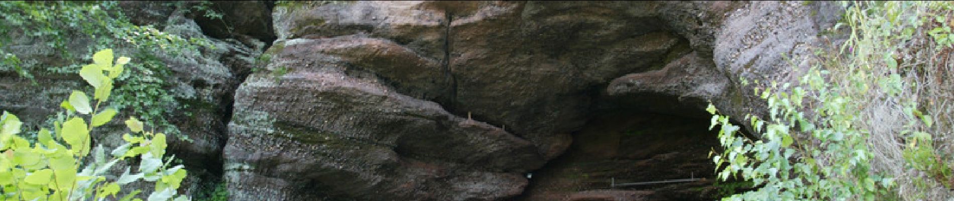
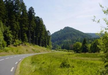
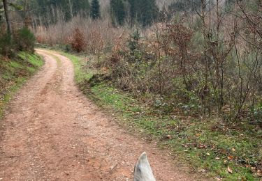
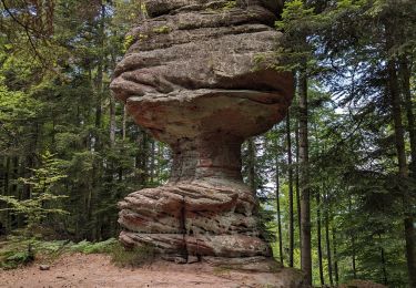
Le circuit part du plan d’eau, il traverse la moitié du village puis monte vers la crête par la rue du Stade. Il se prolonge sur les hauteurs et passe par deux hameaux : le Munichshof et le Saint-Léon. De superbes sites comme la grotte, plus grande cavité rocheuse du massif vosgien, la chapelle Saint-Léon ou encore le promontoire sont à découvrir. Continuer ensuite l’ascension vers le Peugstein, point culminant du circuit à 580 m. De nombreux points de vue sur les vallées de la Zorn et de la Sarre jalonnent le circuit. Arrivé au Lieu-dit La Croix de Haspach, prendre la direction du Hohwalschplatz où une halte s’impose aux pieds du colossal rocher du Hohwalsch. Poursuivre ensuite par une belle descente technique qui vous ramène au plan d’eau.

Bicicleta

Bici de montaña

Senderismo
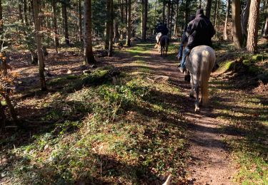
Paseo ecuestre
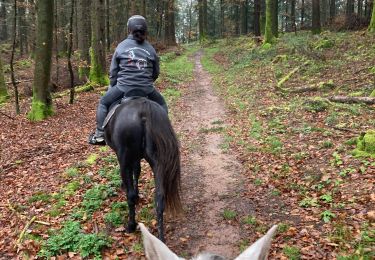
Paseo ecuestre
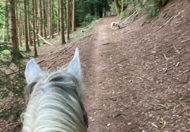
Paseo ecuestre
Paseo ecuestre

Senderismo
A pie