


7,4 km | 9,9 km-effort


Usuario


Aplicación GPS de excursión GRATIS
 SityTrail
IGN / Institutos geográficos
SityTrail World
El mundo es suyo
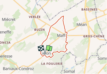
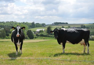
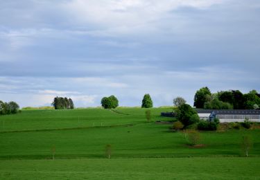
Ruta Senderismo de 10,5 km a descubrir en Valonia, Namur, Havelange. Esta ruta ha sido propuesta por r.genette.
Départ de l'église, direction La Foulerie...1ère route à gauche et nous suivons un chemin vers Les Aloux..gauche vers Maffe que nous traverserons.Direction nord vers Magotalle, Stappe, Croix de Maffe, La Sablière et retour.
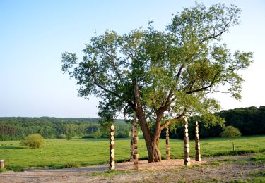
Senderismo

Senderismo

Senderismo
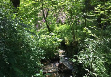
Senderismo
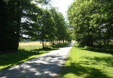
Senderismo
A pie

A pie

A pie
A pie
tb