


7,4 km | 10 km-effort

Usuario


Aplicación GPS de excursión GRATIS
 SityTrail
IGN / Institutos geográficos
SityTrail World
El mundo es suyo
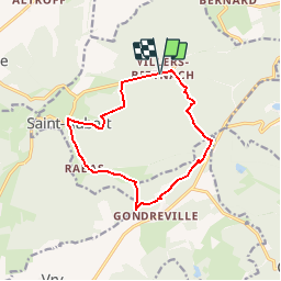
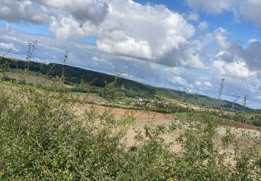
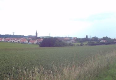
Ruta Senderismo de 11,2 km a descubrir en Gran Este, Mosela, Saint-Hubert. Esta ruta ha sido propuesta por tracegps.
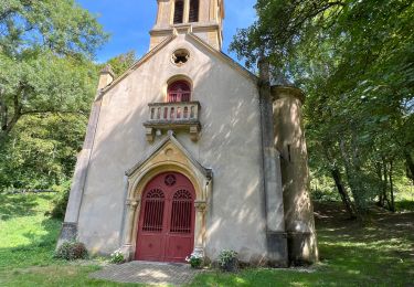
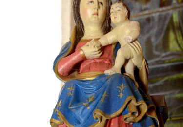
Départ du parking Saint-Michel ou de l'abbaye de Villers-Bettnach. Un circuit en pleine nature, où la légende dit que Charlemagne aurait vu jaillir une source sous le sabot de son cheval, puis aurait fait construire une chapelle à l'emplacement de l'actuelle chapelle de Rabas. Retrouvez la fiche de cette randonnée sur le site du Tourisme en Moselle.

A pie
A pie
Paseo ecuestre
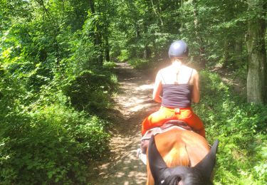
Paseo ecuestre
Senderismo
A pie
A pie
Bici de montaña
Bici de montaña