


7,9 km | 9,5 km-effort

Usuario


Aplicación GPS de excursión GRATIS
 SityTrail
IGN / Institutos geográficos
SityTrail World
El mundo es suyo
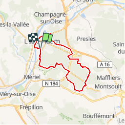
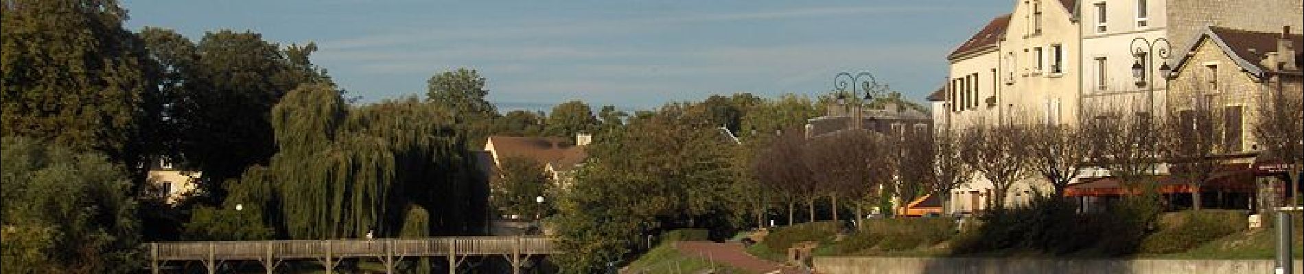
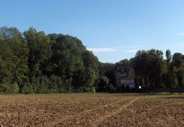
Ruta Senderismo de 22 km a descubrir en Isla de Francia, Valle del Oise, L'Isle-Adam. Esta ruta ha sido propuesta por tracegps.
Circuit proposé par le Comité Départemental de Randonnée des Hauts de Seine. Parking départ : L'Isle Adam le Vivray Descriptif : GR1, L'Isle Adam le Vivray, le Pré-Fleuri, Coteau de l’étang, Porte-Noire , Carrefour Vicaire, Carrefour de la Porte Baillet ... nb piste cavalière, Route Tournante du Saut-du-Loup-de-Chauvry .... PR14, Carrefour Boucault, MF du Bois Carreau, le Pilon, Carrefour de la Malmaison (14 km) D64, le Gros-Chêne, Maison Forestière des Louveteaux, L'Isle-Adam Pavillon Chinois, L’Isle-Adam pont de l’Oise, L'Isle-Adam le Vivray. Des sentiers ont pu être modifiés depuis la dernière validation et les itinéraires proposés n’engagent pas la responsabilité du Comité. Signalez-nous les modifications rencontrées pour mise à jour de la randothèque.

Senderismo
Senderismo
Senderismo
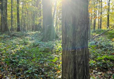
Senderismo
Senderismo

A pie

Senderismo
Senderismo
Senderismo
merci