


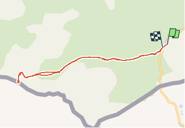


10,6 km | 19,3 km-effort

Usuario


Aplicación GPS de excursión GRATIS
 SityTrail
IGN / Institutos geográficos
SityTrail World
El mundo es suyo
Ruta Raquetas de nieve de 9,4 km a descubrir en Nueva Aquitania, Pirineos-Atlánticos, Laruns. Esta ruta ha sido propuesta por tracegps.
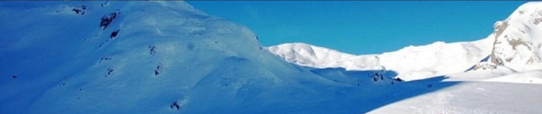
Randonnée raquettes Pic Canaourouye 2347m depuis la cabane de l'Araille 1720m Un grand classique du ski de randonnée et de la raquette à neige, ce sommet facile offre une très belle vue sur l'Ossau et sur le versant espagnol. Itinéraire pour une sortie familiale en raquettes. D’autres indications, photos et panoramiques sur le site « Les Pyrénées vues par Mariano ».


Senderismo

Senderismo

Senderismo

A pie
Senderismo

Senderismo

Senderismo

Senderismo
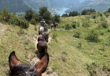
Paseo ecuestre