


9,3 km | 10,4 km-effort

Usuario


Aplicación GPS de excursión GRATIS
 SityTrail
IGN / Institutos geográficos
SityTrail World
El mundo es suyo
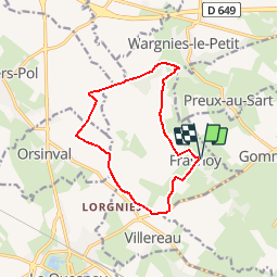
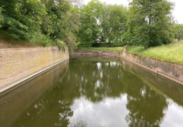
Ruta Senderismo de 11 km a descubrir en Alta Francia, Norte, Frasnoy. Esta ruta ha sido propuesta por tracegps.
Circuit proposé par le comité départemental du tourisme du Nord. Départ de l’église Saint-Clément de Frasnoy. Cet itinéraire chemine le long du bocage et des cultures par des petites routes ou des sentiers bordés de haies. Retrouvez cette randonnée sur le site du Comité Départemental du Tourisme du Nord.
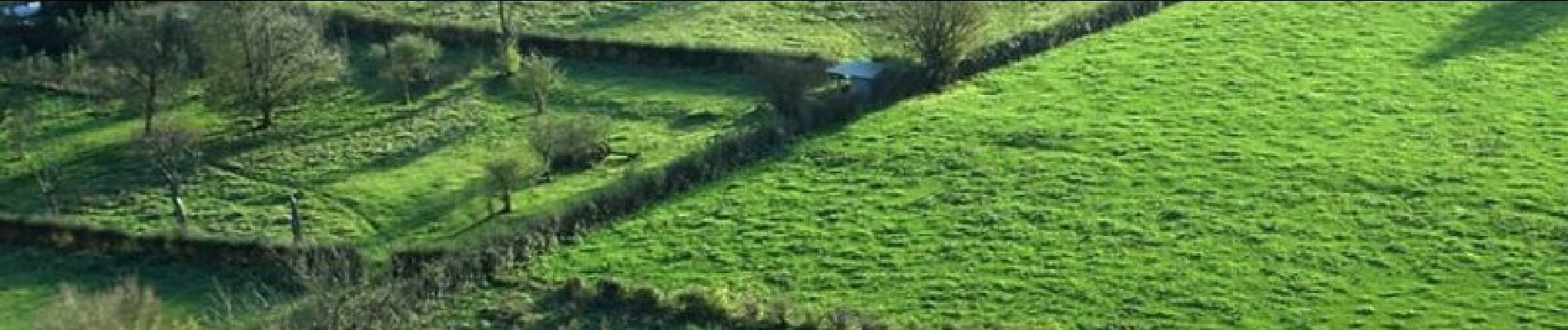
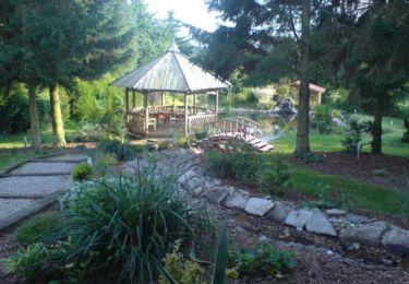
 - Photo 1")
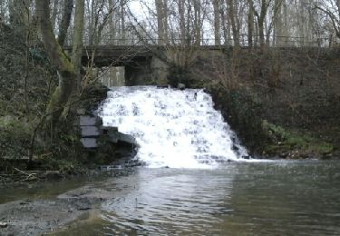
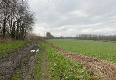
 - Photo 2")
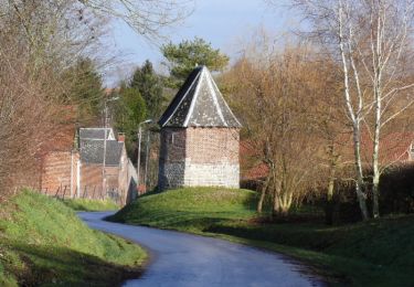
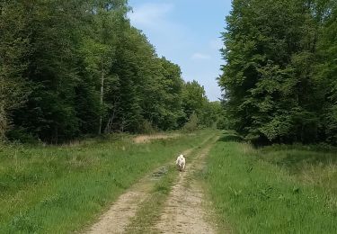
 - Photo 3")
Senderismo

Senderismo
Senderismo
Senderismo
Senderismo
Senderismo
Senderismo
Senderismo

Senderismo
Belle randonnée