


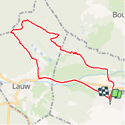

19,9 km | 34 km-effort

Usuario


Aplicación GPS de excursión GRATIS
 SityTrail
IGN / Institutos geográficos
SityTrail World
El mundo es suyo
Ruta Senderismo de 9 km a descubrir en Gran Este, Alto Rin, Sentheim. Esta ruta ha sido propuesta por helmut68.
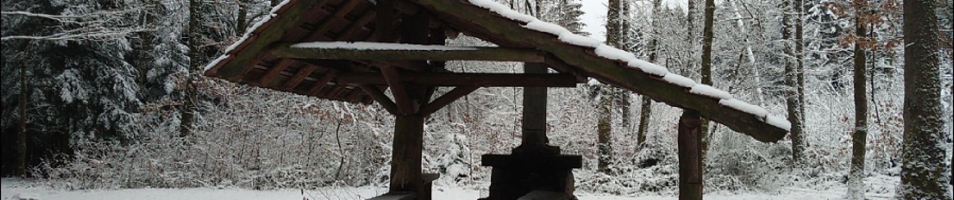
Départ église de Sentheim ,puis très vite on se trouve en forêt jusqu'au chalet ,retour par Lauw. Rando agréable , sur des chemins de terre , calme et beauté aux rendez-vous...


Senderismo

Senderismo

Senderismo

A pie

A pie

Senderismo

Senderismo

Senderismo
