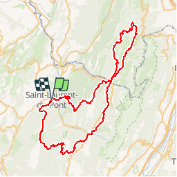
![](/images/other/stat-length.png)
![Excursión Carrera Saint-Laurent-du-Pont - Le Grand Duc - Tour Pédestre de Chartreuse - Photo](https://media.geolcdn.com/t/1900/400/ext.pjpeg?maxdim=2&url=https%3A%2F%2Fservices.sitytrail.com%2FGeolivesWS%2FDownloadMedia.ashx%3FTrailID%3D109477%26Media%3D4027_1.jpg)
Le Grand Duc - Tour Pédestre de Chartreuse
tracegps
Usuario
![Longitud](/images/other/stat-length.png)
![Altitud máxima](https://static1.geolcdn.com/siteimages/upload/files/1508320355ic_sort_altitude_max_24dp.png)
![Desnivel positivo](https://static1.geolcdn.com/siteimages/upload/files/1508320355ic_sort_den_pos_24dp.png)
![Km-Effort](/images/other/stat-length.png)
![Altitud mínima](https://static1.geolcdn.com/siteimages/upload/files/1508320355ic_sort_altitude_min_24dp.png)
![Desnivel negativo](https://static1.geolcdn.com/siteimages/upload/files/1508320355ic_sort_den_neg_24dp.png)
![Boucle](https://static1.geolcdn.com/siteimages/upload/files/16400158638029165_repeat_loop_refresh_sync_direction_icon.png)
![Carrera](https://static1.geolcdn.com/sitytour/trail-icons/103.png)
15h00
Dificultad : Muy difícil
![Escanee este código QR para abrir la excursión en la aplicación SityTrail](https://capi.geolives.com/qq0zvz2zws4bq2lad0pu/sitytour/trails/109477/qr.png?size=200)
Aplicación GPS de excursión GRATIS
A propósito
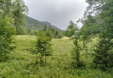
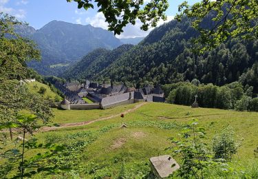
Ruta Carrera de 82 km a descubrir en Auvergne-Rhône-Alpes, Isère, Saint-Laurent-du-Pont. Esta ruta ha sido propuesta por tracegps.
Descripción
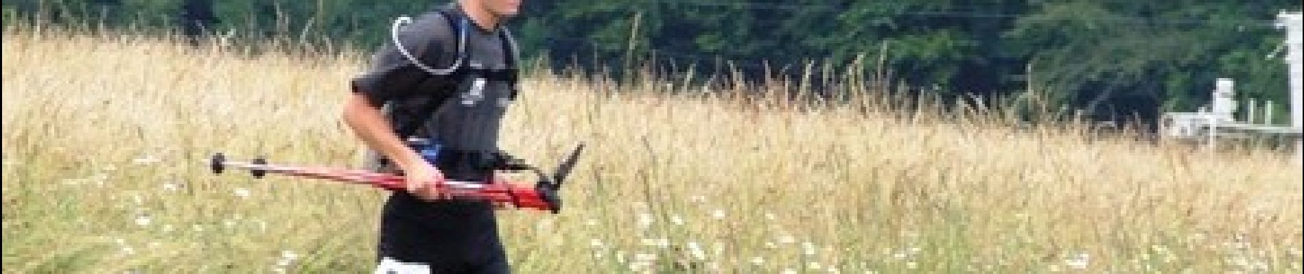
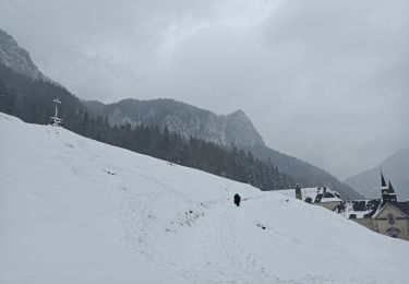
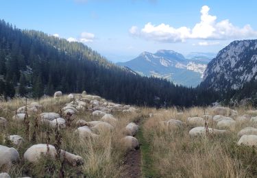
Le 19ème Grand Duc - Tour Pédestre de Chartreuse – est une course qui se déroule chaque année sur le Massif de la Chartreuse. Cette édition a eu lieu le 29 Juin 2008. C’est une course en solo, en duo ou par équipe de 5 coureurs qui se déroule à la journée, sur 80 Km avec une dénivelée positive de 4885 m. Cette manifestation est l’occasion de faire découvrir aux participants et aux personnes qui les accompagnent, le massif de la Chartreuse. C’est aussi l’occasion de rassembler les communes du massif autour d’un projet commun qui nécessite la participation de tous (il y a environ 120 bénévoles actifs pour faire en sorte que cette manifestation soit une réussite). Description complète sur le site.
Localización
Comentarios
Excursiones cerca
![Excursión Raquetas de nieve Saint-Christophe-sur-Guiers - Le Belvédère d'Arpison - Photo](https://media.geolcdn.com/t/375/260/ext.jpg?maxdim=2&url=https%3A%2F%2Fservices.sitytrail.com%2FGeolivesWS%2FDownloadMedia.ashx%3FTrailID%3D699429%26Media%3Dfix__20170216145739.jpg)
![Raquetas de nieve Raquetas de nieve](https://static1.geolcdn.com/sitytour/trail-icons/504.png)
Raquetas de nieve
![](/images/other/stat-length.png)
![](https://static1.geolcdn.com/siteimages/upload/files/16400158638029165_repeat_loop_refresh_sync_direction_icon.png)
![Excursión Senderismo Saint-Pierre-de-Chartreuse - Les haberts du Désert de Chartreuse - Photo](https://media.geolcdn.com/t/375/260/ext.jpg?maxdim=2&url=https%3A%2F%2Fservices.sitytrail.com%2FGeolivesWS%2FDownloadMedia.ashx%3FTrailID%3D101549%26Media%3D1655_1.jpg)
![Senderismo Senderismo](https://static1.geolcdn.com/sitytour/trail-icons/101.png)
Senderismo
![](/images/other/stat-length.png)
![](https://static1.geolcdn.com/siteimages/upload/files/16400158638029165_repeat_loop_refresh_sync_direction_icon.png)
![Excursión Senderismo Saint-Christophe-sur-Guiers - Petit Som 1772m, depuis La Ruchère - Photo](https://media.geolcdn.com/t/375/260/ext.jpg?maxdim=2&url=https%3A%2F%2Fservices.sitytrail.com%2FGeolivesWS%2FDownloadMedia.ashx%3FTrailID%3D101428%26Media%3D1421_1.jpg)
![Senderismo Senderismo](https://static1.geolcdn.com/sitytour/trail-icons/101.png)
Senderismo
![](/images/other/stat-length.png)
![](https://static1.geolcdn.com/siteimages/upload/files/16400158638029165_repeat_loop_refresh_sync_direction_icon.png)
![Excursión Senderismo Saint-Christophe-sur-Guiers - 38 grand som par sente intermediaire - Photo](https://media.geolcdn.com/t/375/260/d5932087-ede9-44fd-a20e-8bcb7625b7eb.jpg&format=jpg&maxdim=2)
![Senderismo Senderismo](https://static1.geolcdn.com/sitytour/trail-icons/101.png)
Senderismo
![](/images/other/stat-length.png)
![](https://static1.geolcdn.com/siteimages/upload/files/16400158638029165_repeat_loop_refresh_sync_direction_icon.png)
![Excursión Senderismo Saint-Christophe-sur-Guiers - Petit Som par le Col de la Ruchère - Photo](https://media.geolcdn.com/t/375/260/ext.jpg?maxdim=2&url=https%3A%2F%2Fservices.sitytrail.com%2FGeolivesWS%2FDownloadMedia.ashx%3FTrailID%3D187990%26Media%3D84dca246-9935-47c1-bea7-9350caca3e85.JPG)
![Senderismo Senderismo](https://static1.geolcdn.com/sitytour/trail-icons/101.png)
Senderismo
![](/images/other/stat-length.png)
![](https://static1.geolcdn.com/siteimages/upload/files/16400158638029165_repeat_loop_refresh_sync_direction_icon.png)
![Excursión Senderismo Saint-Pierre-de-Chartreuse - Monastère de la Grande Chartreuse - Photo](https://media.geolcdn.com/t/375/260/e7a4c8ad-7c07-49bf-b2d9-5ec8c2525655.jpg&format=jpg&maxdim=2)
![Senderismo Senderismo](https://static1.geolcdn.com/sitytour/trail-icons/101.png)
Senderismo
![](/images/other/stat-length.png)
![](https://static1.geolcdn.com/siteimages/upload/files/16400158638029165_repeat_loop_refresh_sync_direction_icon.png)
![Excursión Senderismo Saint-Pierre-de-Chartreuse - 020923 Grand Som Par le Pas de Suiffière - Photo](https://media.geolcdn.com/t/375/260/8a00fd66-5443-4b70-a043-6a2c1cd393f7.jpg&format=jpg&maxdim=2)
![Senderismo Senderismo](https://static1.geolcdn.com/sitytour/trail-icons/101.png)
Senderismo
![](/images/other/stat-length.png)
![](https://static1.geolcdn.com/siteimages/upload/files/16400158638029165_repeat_loop_refresh_sync_direction_icon.png)
![Excursión Senderismo Saint-Pierre-de-Chartreuse - 38-chartreuse-Haberts-Arpison-16km900m - Photo](https://media.geolcdn.com/t/375/260/5dd7d3b9-c2a1-40d8-a2d6-56f0ef4bf8d6.jpg&format=jpg&maxdim=2)
![Senderismo Senderismo](https://static1.geolcdn.com/sitytour/trail-icons/101.png)
Senderismo
![](/images/other/stat-length.png)
![](https://static1.geolcdn.com/siteimages/upload/files/16400158638029165_repeat_loop_refresh_sync_direction_icon.png)
![Excursión Senderismo Saint-Pierre-de-Chartreuse - Monastère des Chartreux - Chapelle St Bruno - - Photo](https://media.geolcdn.com/t/375/260/e2e276ad-3e60-435b-9403-68bad30331a3.jpg&format=jpg&maxdim=2)
![Senderismo Senderismo](https://static1.geolcdn.com/sitytour/trail-icons/101.png)
Senderismo
![](/images/other/stat-length.png)
![](https://static1.geolcdn.com/siteimages/upload/files/16400158638029165_repeat_loop_refresh_sync_direction_icon.png)