


12,7 km | 13,4 km-effort

Usuario


Aplicación GPS de excursión GRATIS
 SityTrail
IGN / Institutos geográficos
SityTrail World
El mundo es suyo
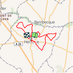
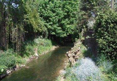
Ruta Senderismo de 12,7 km a descubrir en Alta Francia, Norte, Herzeele. Esta ruta ha sido propuesta por tracegps.
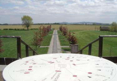
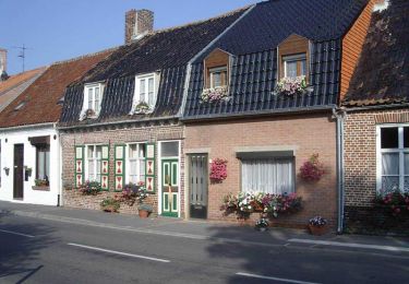
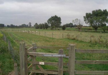
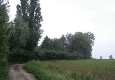
Départ place de la mairie d'Herzeele. Le circuit des 5 Becques est représentatif des charmes et des traditions de la Flandre (habitat, hallekerque, pas de tir à l’arc vertical, mares et bocage). Retrouvez cette randonnée sur le site du Comité Départemental du Tourisme du Nord.
 - Photo 1")
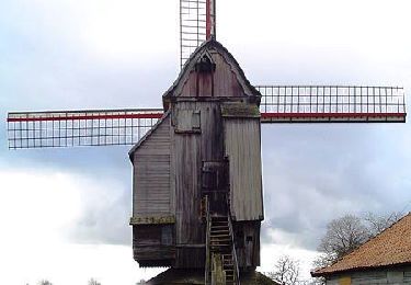
 - Photo 2")
 - Photo 3")
 - Photo 4")
 - Photo 5")
 - Photo 6")
Caballo
Caballo
Senderismo
Senderismo
Senderismo
Senderismo
Senderismo

Senderismo
Bicicleta