


23 km | 35 km-effort

Usuario


Aplicación GPS de excursión GRATIS
 SityTrail
IGN / Institutos geográficos
SityTrail World
El mundo es suyo
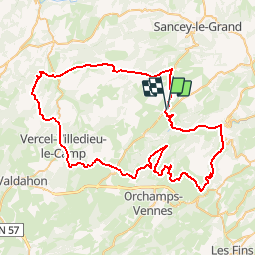
Ruta Bicicleta de 78 km a descubrir en Borgoña-Franco Condado, Doubs. Esta ruta ha sido propuesta por tracegps.
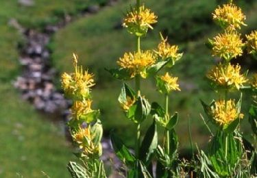
Le Doubs, réserve naturelle d’idées neuves ! Louis Pergaud Belvédères du Peu à Laviron Grotte de la glacière à Chaux-les-Passavant (03 81 60 44 26) A proximité : - Cascade et vallée de l’Audeux - Abbaye de la Grâce-Dieu à Chaux-les-Passavant - Eglise de Leugney (architecture rhénane des XII et XIIIe) Maison Louis Pergaud à Belmont (03 81 58 36 40) Belvédère de la Vierge du Mont à Vercel Fontaine Ronde de Loray Chapelle Sainte-Radegonde à Vennes Site de Consolation - Source du Dessoubre, parc, cascades, sentiers de randonnée… - Fondation du val de Consolation (03 81 43 67 67) - Tyrolienne Altaïs, 500 m de sensations fortes (03 81 43 50 13) Vallée du Dessoubre Vallée de la Reverotte A proximité : cascade et moulin de Vermondans Source et cascade du Val à Pierrefontaine-les-Varans


Senderismo
Senderismo
Senderismo
Senderismo
Senderismo

Bici de montaña
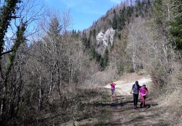
Senderismo
Senderismo

Otra actividad