


6 km | 6,8 km-effort

Usuario


Aplicación GPS de excursión GRATIS
 SityTrail
IGN / Institutos geográficos
SityTrail World
El mundo es suyo
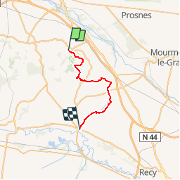
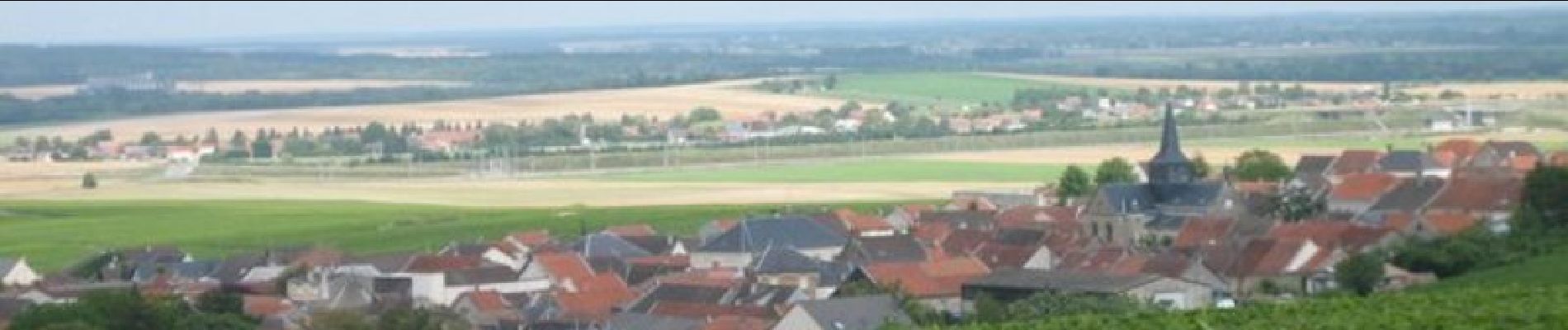
Ruta Senderismo de 23 km a descubrir en Gran Este, Marne, Verzy. Esta ruta ha sido propuesta por tracegps.
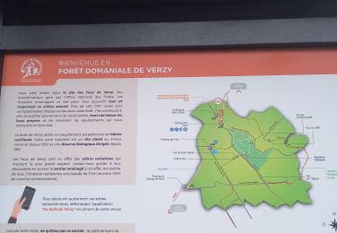
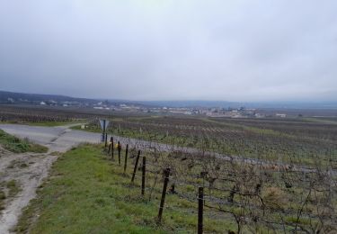
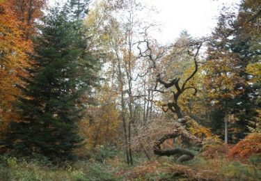
Le Chemin de Compostelle, voie de Vézelay GR654® présenté par le Comité Régional du Tourisme de Champagne-Ardenne. Chemin de Compostelle, Voie de Vézelay GR654® De Verzy à Condé sur Marne. Huitième étape. Après avoir traversé le site naturel des faux de Verzy, vous quittez la montagne de Reims pour rejoindre la Condé-sur-Marne en longeant le canal de l’Aisne à la Marne. Vous trouverez le descriptif détaillé de cette randonnée dans le Topo-guide® de la Fédération Française de la Randonnée Pédestre.

Senderismo
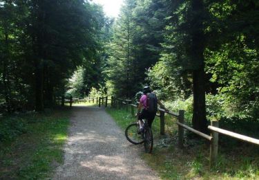
Bici de montaña
Senderismo

Senderismo
Senderismo
Senderismo
Senderismo
Senderismo