


15,9 km | 21 km-effort

Usuario


Aplicación GPS de excursión GRATIS
 SityTrail
IGN / Institutos geográficos
SityTrail World
El mundo es suyo
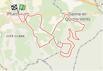
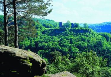
Ruta Bici de montaña de 13,4 km a descubrir en Gran Este, Mosela, Phalsbourg. Esta ruta ha sido propuesta por tracegps.
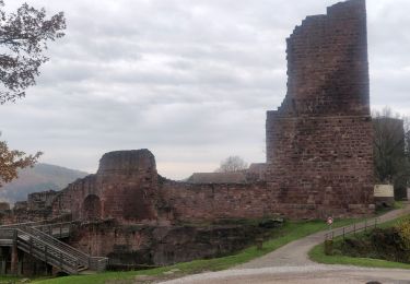
De la Place d’Armes, rejoindre le Centre Européen en passant sous le porche de la Caserne Lobau. Depuis le Centre Européen, prendre une petite portion de la Nationale 4. Au cimetière communal, emprunter le Chemin Paul Calmé qui mène à Bois de Chênes Haut (annexe de Phalsbourg). Continuer sur la route jusqu’à la maison d’architecte. Prendre le chemin qui part sur la gauche puis bifurquer à travers champs en direction du village de Danne-et-Quatre-Vents. Arrivé aux habitations, prendre à droite et traverser une partie du village. Rejoindre ensuite le sous-bois et entamer une descente en direction de la vallée du Stutzbach. Prendre ensuite la direction de la Grotte de Danne puis celle de la Maison Forestière du Finstingerkopf. Rejoindre ensuite Bois de Chênes Haut et son école puis couper à travers champs pour gagner Bois de Chênes Bas par un chemin qui finit par une descente raide et technique. Suivre ensuite la route qui rejoint la Nationale 4. Traverser celle-ci puis regagner la Place d’Armes par la rue Devers et la Porte d’Allemagne. Retrouvez d’autres informations sur Phalsbourg


Senderismo
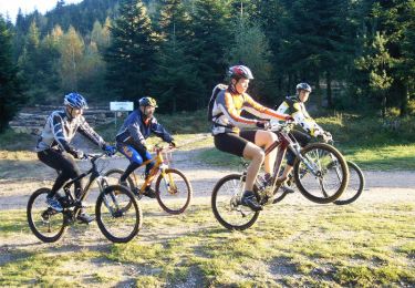
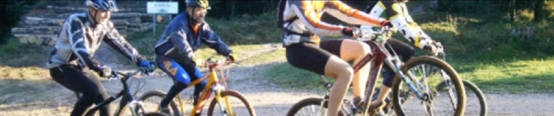
Bici de montaña
Senderismo

A pie
Senderismo

Senderismo
Senderismo

Caballo
A pie