


4 km | 4,4 km-effort

Usuario


Aplicación GPS de excursión GRATIS
 SityTrail
IGN / Institutos geográficos
SityTrail World
El mundo es suyo
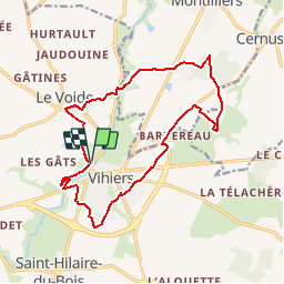
Ruta Senderismo de 15,9 km a descubrir en Países del Loira, Maine-y-Loira, Lys-Haut-Layon. Esta ruta ha sido propuesta por tracegps.
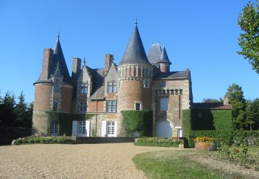
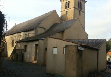
Attention! Tronçons inondés en période de hautes eaux. Cette boucle autour de Vihiers, grosse agglomération entre Layon et Mauges, vous entrainera dans le bocage, les bords du Lys et la forêt. Du château de Maupassant, arrêtez-vous près de la loge en Brande, franchissez le Lys par le Pont fondu et tentez d'approcher au plus près le château de Tirpoil.


A pie
A pie
A pie
Senderismo

A pie
Senderismo
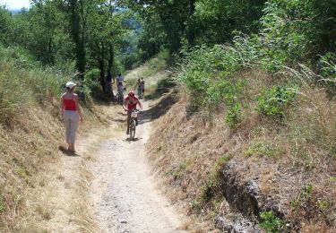
Bici de montaña

Senderismo
Senderismo