


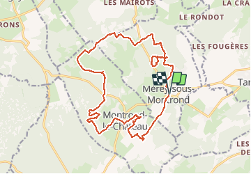


14,3 km | 19,7 km-effort


Usuario


Aplicación GPS de excursión GRATIS
 SityTrail
IGN / Institutos geográficos
SityTrail World
El mundo es suyo
Ruta Senderismo de 21 km a descubrir en Borgoña-Franco Condado, Doubs, Mérey-sous-Montrond. Esta ruta ha sido propuesta por TRIMAILLE.
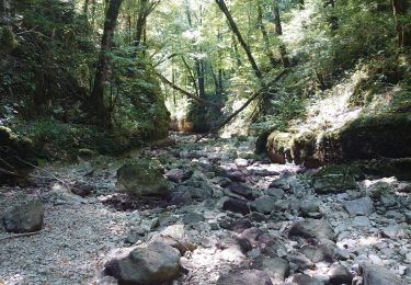
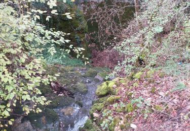
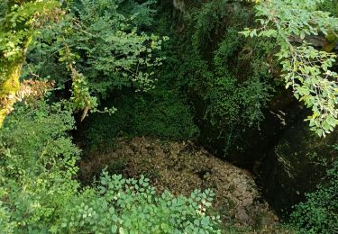
Randonnée karstique.


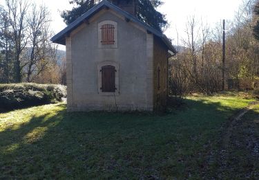
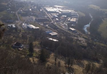
32 fotos en total. Haga clic en una foto para mostrarlas todas en la galería.
Senderismo

A pie

Senderismo
Senderismo
Senderismo
Senderismo

Marcha nórdica
Senderismo

Senderismo