


49 km | 54 km-effort

Usuario


Aplicación GPS de excursión GRATIS
 SityTrail
IGN / Institutos geográficos
SityTrail World
El mundo es suyo
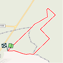
Ruta Senderismo de 3,8 km a descubrir en Alta Francia, Somme, Forest-l'Abbaye. Esta ruta ha sido propuesta por tracegps.
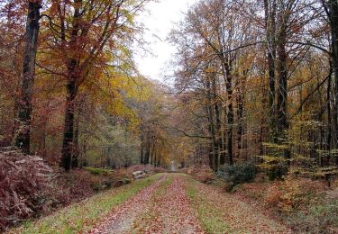
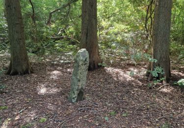
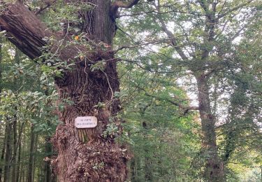
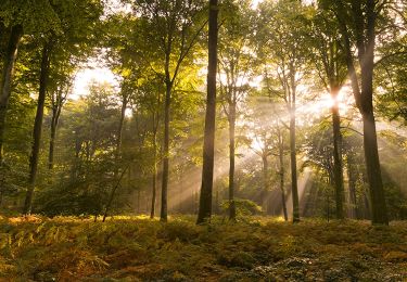
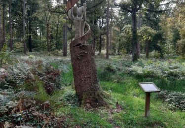
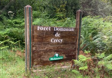
Cinq balades en forêt de Crécy pour découvrir sa richesse et sa diversité : les 2 mares, le hallot, les vieux chênes, le muscardin et la longue borne. Pour télécharger la fiche du circuit en format pdf. Partez à la découverte de la Côte Picarde et de la Baie de Somme à travers 38 promenades et randonnées pédestres.

Bicicleta
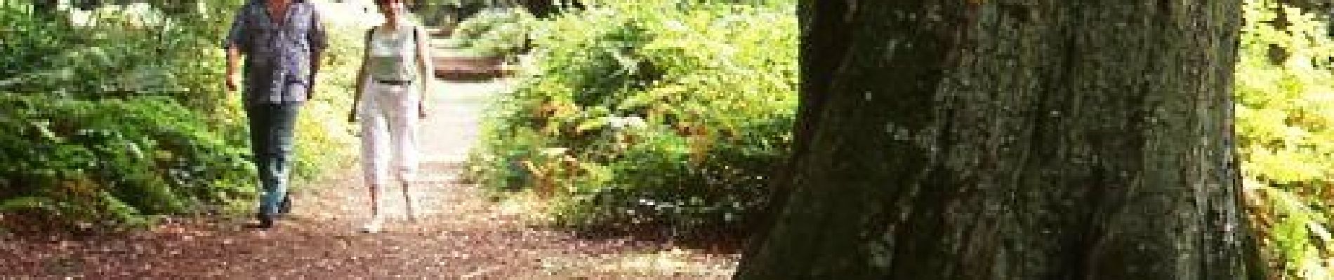
Senderismo
Bici de montaña
Senderismo
Senderismo

Senderismo
A pie
Senderismo
Bici de montaña
chemins mal entretenus