


8,9 km | 10,3 km-effort


Usuario


Aplicación GPS de excursión GRATIS
 SityTrail
IGN / Institutos geográficos
SityTrail World
El mundo es suyo
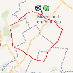
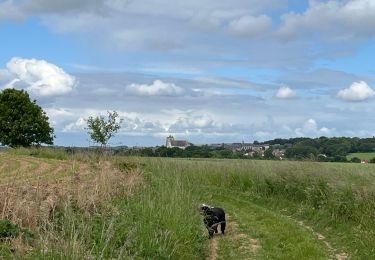
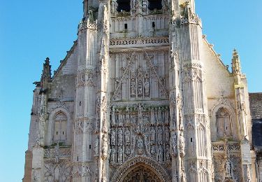
Ruta Senderismo de 6,9 km a descubrir en Alta Francia, Somme, Millencourt-en-Ponthieu. Esta ruta ha sido propuesta por tracegps.
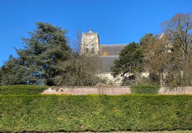
Après avoir apprécié le charme de la verdoyante campagne, découvrir celui d’un village qui a su conserver son identité et où les fleurs sont reines. Pour télécharger la fiche du circuit en format pdf. Partez à la découverte de la Côte Picarde et de la Baie de Somme à travers 38 promenades et randonnées pédestres.

A pie
Senderismo
Senderismo
Marcha nórdica
Senderismo
Senderismo
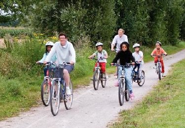
Bicicleta

Senderismo
Senderismo