


13,8 km | 16,8 km-effort


Usuario


Aplicación GPS de excursión GRATIS
 SityTrail
IGN / Institutos geográficos
SityTrail World
El mundo es suyo
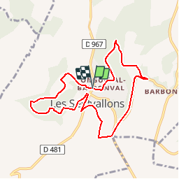
Ruta Senderismo de 8,2 km a descubrir en Alta Francia, Aisne, Les Septvallons. Esta ruta ha sido propuesta por tracegps.
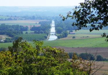
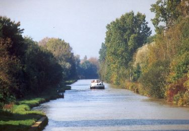
De Longueval, dont l'église aux vitraux contemporains accueille des concerts, on rejoint la ferme de Pinçon, accrochée au bord du plateau : les pierres et poteries découvertes tout près témoignent de la présence d'un oppidum romain, au lieu-dit Sorcy. La variante permet de découvrir le village de Vauxcéré, et le retour celui de Barbonval, avec leurs creuttes. Toutes les infos sont ICI

Senderismo
Senderismo
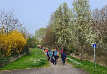
Senderismo
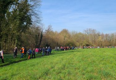
Senderismo
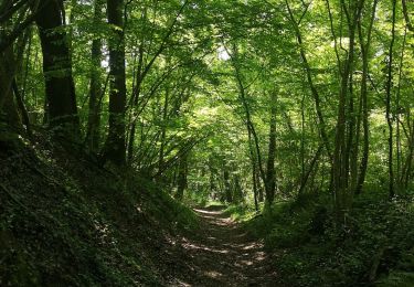
Senderismo
Bici de montaña
Senderismo
Bici de montaña
Senderismo