


10,8 km | 13,4 km-effort

Usuario


Aplicación GPS de excursión GRATIS
 SityTrail
IGN / Institutos geográficos
SityTrail World
El mundo es suyo
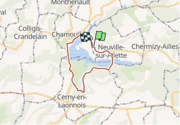
Ruta Senderismo de 9,2 km a descubrir en Alta Francia, Aisne, Neuville-sur-Ailette. Esta ruta ha sido propuesta por tracegps.
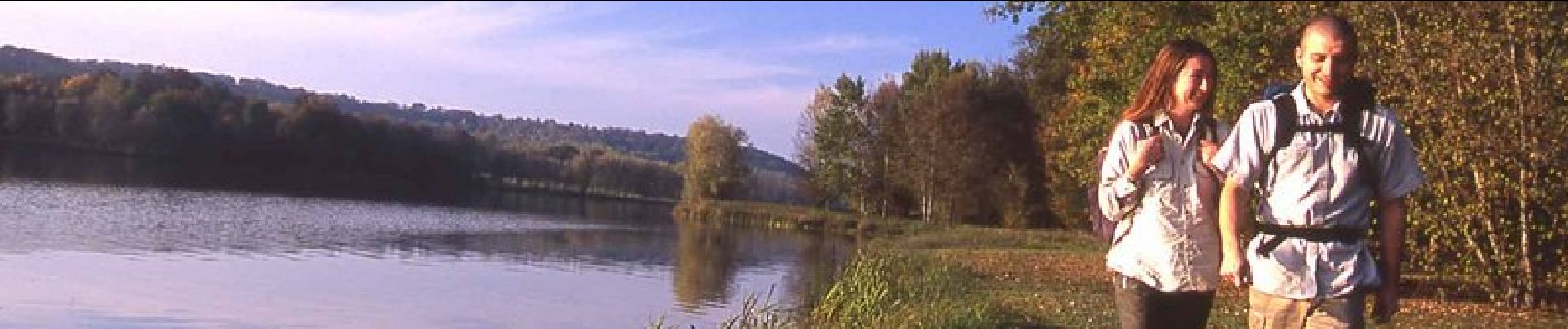
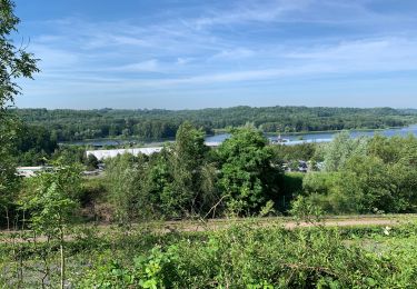
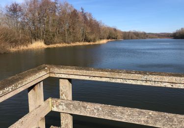
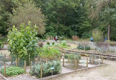
Le circuit évolue entre le Chemin des Dames et le plan d'eau de l'Ailette. Le plaisir que procure ce lac tient à la diversité de ses berges : aménagées en plage, ou herbeuses et ombragées pour un pique-nique… De partout, cette étendue apaise par la sérénité qu'elle dégage. Toutes les infos sont ICI


Senderismo
Senderismo
Senderismo
Senderismo
Senderismo
Senderismo

Senderismo
Marcha nórdica
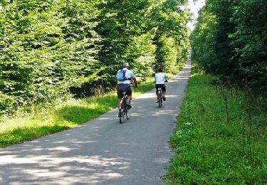
Bici de montaña
Belle rando ensoleillée