


10,8 km | 13,4 km-effort

Usuario


Aplicación GPS de excursión GRATIS
 SityTrail
IGN / Institutos geográficos
SityTrail World
El mundo es suyo
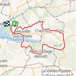
Ruta Senderismo de 14,6 km a descubrir en Alta Francia, Aisne, Chamouille. Esta ruta ha sido propuesta por tracegps.
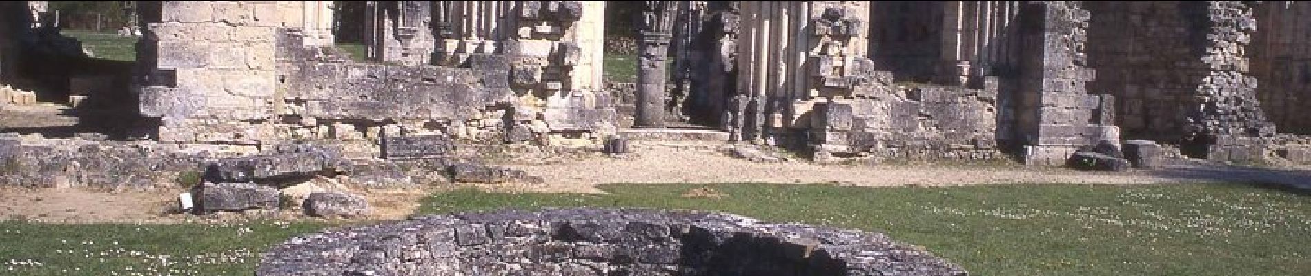
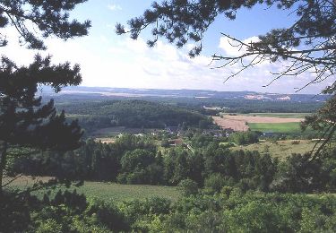
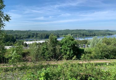
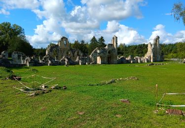
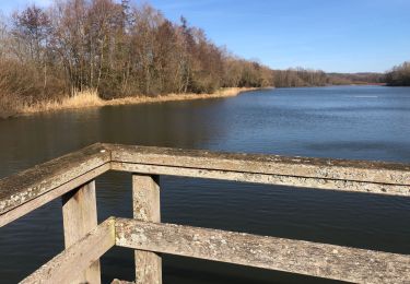
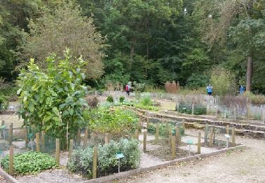
Ce circuit ouvre de beaux points de vue sur les vallées de la Bièvre et de l'Ailette, sur le plan d'eau ou encore sur le Chemin des Dames au sud. Le sobre épitaphe du monument d'Ailles ("Ici fut Ailles") rappelle le martyr de la commune, qui ne fut jamais reconstruite au lendemain de la guerre de 1914-1918. Toutes les infos sont ICI


Senderismo
Senderismo
Senderismo
Senderismo
Senderismo
Senderismo

Senderismo
Marcha nórdica
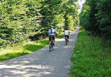
Bici de montaña